_-_geograph.org.uk_-_2451884.jpg)
What is recorded here
The official Northern Ireland record identifies this as a Grade B2 listed building. Recorded construction date: 1880 - 1899. Current recorded use: Church.
The official record and map point do not grant access. Many historic buildings are privately owned; view them only from public ground unless the owner allows entry.
Places near here
 Railway BridgeBridge · 192 yd
 A.P. SITEA.P. SITE, enclosure · 731 yd
 ENCLOSURE in BallygrotENCLOSURE · 865 yd
 Grey Point FortHeritage attraction · 1007 yd
 Crawford HouseHouse · 1209 yd
 Crawfordsburn Country ParkWood · 1297 yd
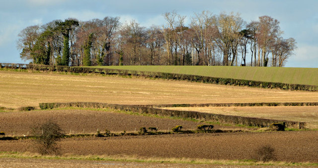 Jan Mayen ClumpWood · 1.1 mi
 North Down Coastal PathWalking route · 1.5 mi
 Brompton BayBeach / strand · 2.2 mi
 Skippingstone BeachBeach / strand · 2.5 mi
 Ulster Folk and Transport MuseumMuseum · 2.6 mi
 Bangor CastleCastle · 3.0 mi
Other information
Photo: Albert Bridge · CC BY-SA 2.0