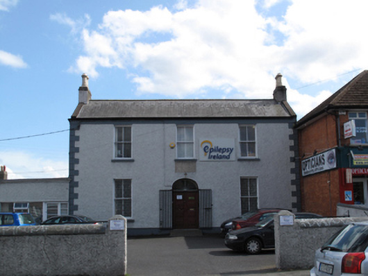
What is recorded here
Detached three-bay two-storey former farm house, built c.1820, having two-storey lean-to return to rear (south) elevation and recent single-storey extension to east gable. Now in use as offices. M-profile pitched slate roof with clay ridge tiles, rendered barges, rendered chimneystacks having clay pots, some cast-iron rainwater goods. Painted roughcast rendered walls with painted eaves course, smooth rendered plinth course and render quoins to front (north) elevation. Square-headed window openings having painted reveals and sills, with two-over-two timber sash windows to front and rear elevations and one-over-one pane timber sash windows to east elevation. Elliptical-headed door opening to front elevation having painted reveals and replacement fanlight over timber panelled double-leaf doors, and ramp access. Set back from main road, having forecourt, rendered boundary walls and piers, with concrete capping.
This well-composed classically-proportioned middle-sized house occupies a prominent site on Crumlin Road. Its form is enhanced by render detailing such as quoins, while timber sash windows and a slate roof create a patina of age. An appealing house of simple composition presenting an early aspect, it thereby makes a positive impression on the historic character of the streetscape. One of the older houses on the street, it pre-dates the development of Crumlin as a suburb, and was originally a farmhouse. An unnamed house is marked on the site on the first edition Ordnance Survey map, and it is listed as the residence of Mrs. Sarah Richardson in Griffith's Valuation of c.1850, who was leasing several acres of farmland. It was marked as Ivy House on the 1907 Ordnance Survey map, and listed as the residence of one Miss E. Richardson, a farmer, in Thom's Directory of that same year.
This does not grant access. Most recorded buildings are privately owned; view them only from public ground unless the owner allows entry.
Places near here
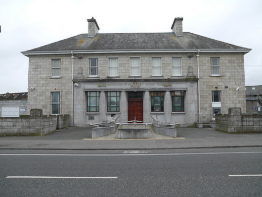 Allied Irish Bankbank/financial institution · 108 yd
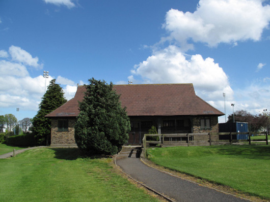 Iveagh Groundssports hall/centre/gymnasium · 277 yd
 Windmill in Unknown TownlandWindmill · 566 yd
 Mote (site of)Castle, motte · 870 yd
 Éamonn CeanntMemorial · 1260 yd
 Irish Citizen ArmyMemorial · 1621 yd
 Toni'sPicnic place · 1645 yd
 JailPrison · 1738 yd
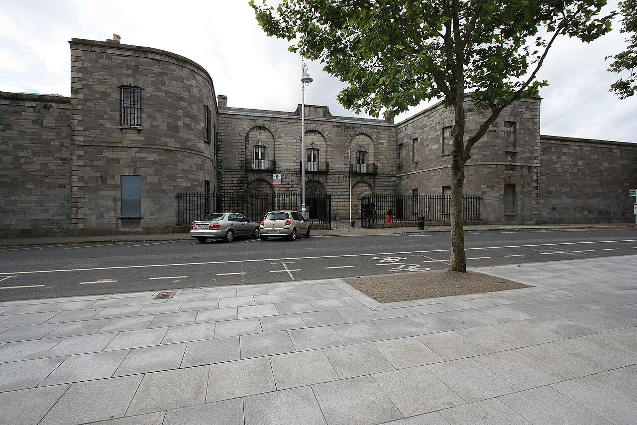 Kilmainham GaolHeritage attraction · 1741 yd
 Bus Route InformationVisitor information · 1.0 mi
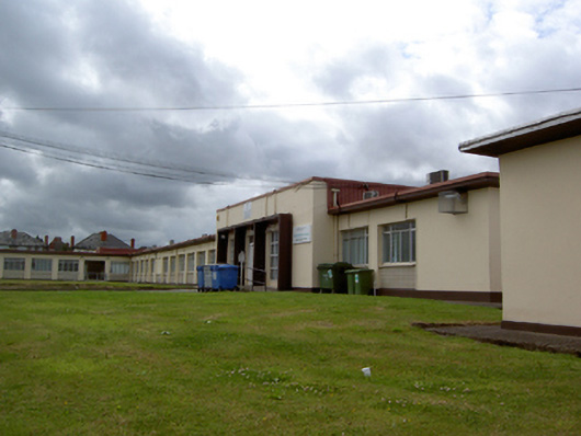 Crumlin Health Centresurgery/clinic · 547 yd
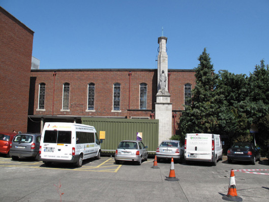 Our Lady's Children's Hospitalchurch/chapel · 669 yd
Other information
Photo: National Inventory of Architectural Heritage · Website use allowed for educational or private purposes with source credit