
What is recorded here
West of Windmill Lane on present site of swimming pool. Named 'windmill stump' on the 1st edition OS 6 inch sheet and 'old mill' on Taylors The environs of Dublin map (1816). No visible trace.
This remains an important historical record, but the official description says the monument is no longer visible or has been destroyed. The monument record does not grant public access. Check the route and ask the landowner before entering private land.
- What survives
- No visible remains or recorded as destroyed
Places near here
 Mote (site of)Castle, motte · 364 yd
 IndicatedHouse, 17th/18th century · 477 yd
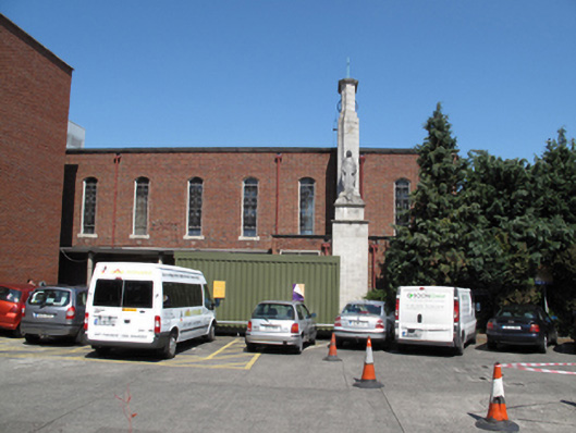 Our Lady's Children's Hospitalchurch/chapel · 490 yd
 Éamonn CeanntMemorial · 1451 yd
 Carriglea Industrial EstateMemorial · 1748 yd
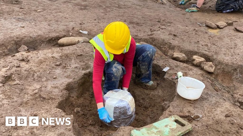 Urn burials (site of)Flat cemetery · 1753 yd
 Toni'sPicnic place · 1.2 mi
 Tumulus (site of)Linkardstown burial · 1.2 mi
 Kilmainham Jail MuseumMuseum · 1.3 mi
 Bus Route InformationVisitor information · 1.3 mi
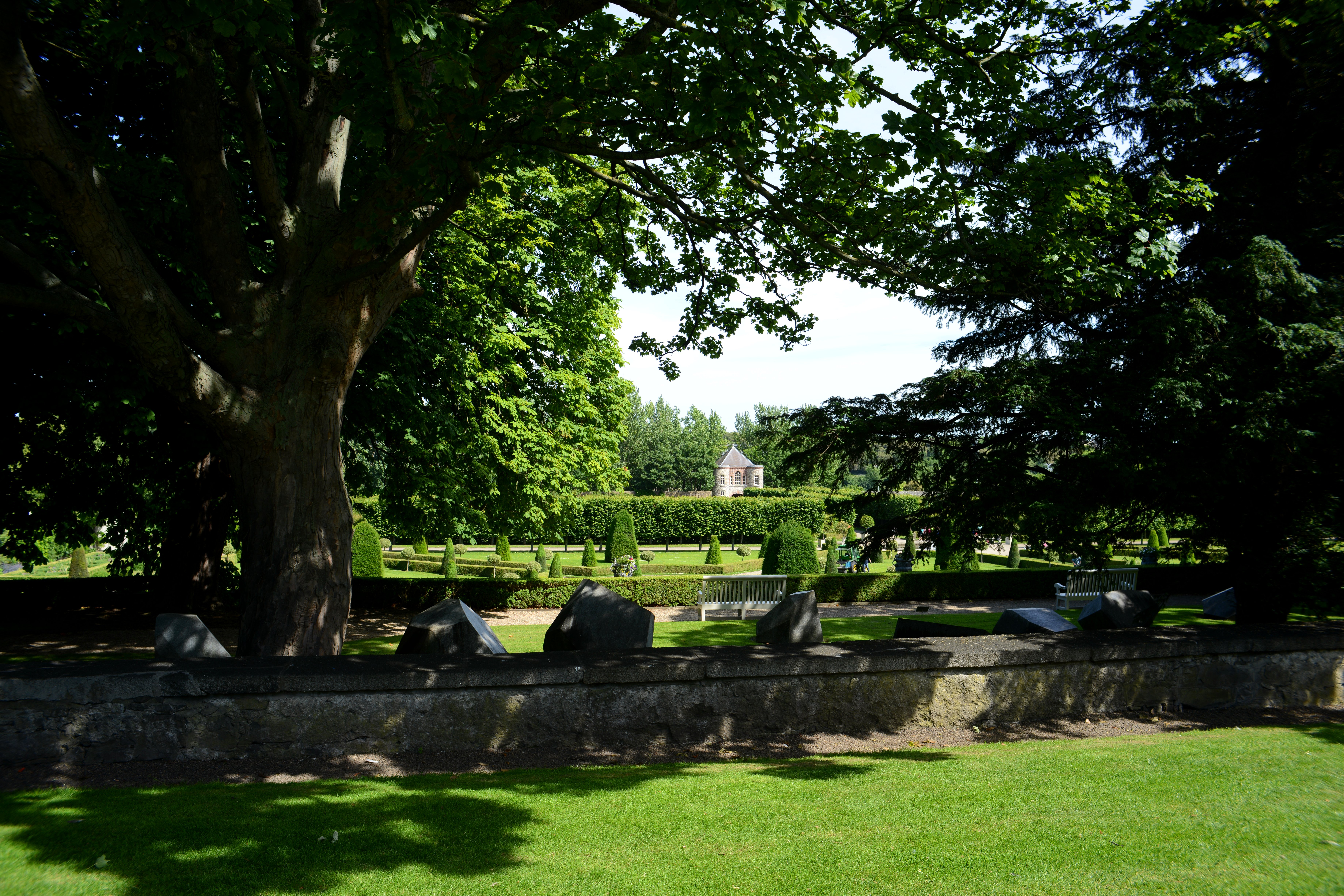 The Formal Garden at The Royal Hospital KilmainhamHeritage attraction · 1.5 mi
 Rathgar CastleCastle, unclassified · 1.8 mi
Other information
Photo: Credit not shown in the picture search · Rights wording not checked; contact us if this picture should be removed