
What is recorded here
That mound may have been a castle for the Crown, watching the church and graveyard from the east before men forgot its shape. Compton arrived in 1290 to take lands the tenants already farmed, and they resisted him like dogs cornered around a fire. The resistance did not need a gate or guardroom; it needed men who knew every furrow and would not leave it.
Possible motte castle belonging to the Royal Manor of Crumlin which stood in the field immediately E of the medieval St Mary's Church (DU018-038001-) and graveyard (DU018-038002-). In 1290, when Henry Compton was granted the demesne lands of the royal manor of Crumlin, he met with fierce opposition from the tenants of Crumlin who had previously held the farm of the manor (Foley 2013, 7). In 1331, a close letter reveals Saggart to have been an ‘ancient ferm’ and a decade later Crumlin and Newcastle Lyons were described as being ‘of the king’s ancient demesne’ (ibid. 9). According to Foley (2013, 9) 'The classification of these manors as ancient demesne may indicate that they were part of the demesne lands of the Norse'. This earthwork recorded on the 1st ed. OSi map as a hachured enclosure indicative of a ringfort or barrow, however it is depicted as a hachured mound more on the 25-inch OSi map (surveyed 1908) where it is annotated 'Moat' which may suggest that this was a possible motte castle. St Mary's C. of I. church has been built on the site. There was no visible surface trace when inspected in 1994 (SMR file).
Foley, A. 2013 The royal manors of medieval Co. Dublin : crown and community. Four Courts Press Dublin.
Compiled by: Paul Walsh
Revised by: Caimin O'Brien
Date of revised upload: 5 January 2023
The monument record does not grant public access. Check the route and ask the landowner before entering private land.
- What survives
- Recorded monument
Places near here
 Windmill in Unknown TownlandWindmill · 364 yd
 IndicatedHouse, 17th/18th century · 378 yd
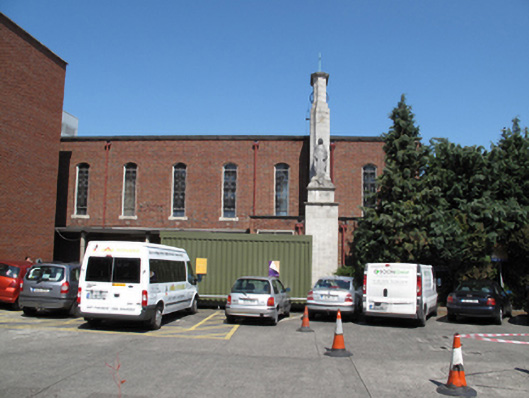 Our Lady's Children's Hospitalchurch/chapel · 437 yd
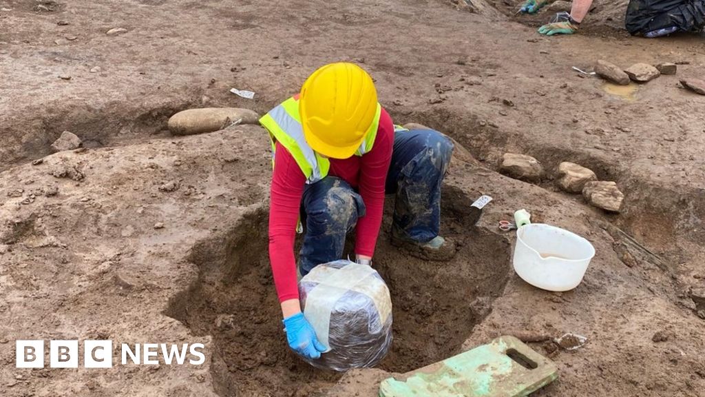 Urn burials (site of)Flat cemetery · 1431 yd
 Carriglea Industrial EstateMemorial · 1441 yd
 Éamonn CeanntMemorial · 1.0 mi
 Toni'sPicnic place · 1.2 mi
 Kilmainham Jail MuseumMuseum · 1.4 mi
 Bus Route InformationVisitor information · 1.5 mi
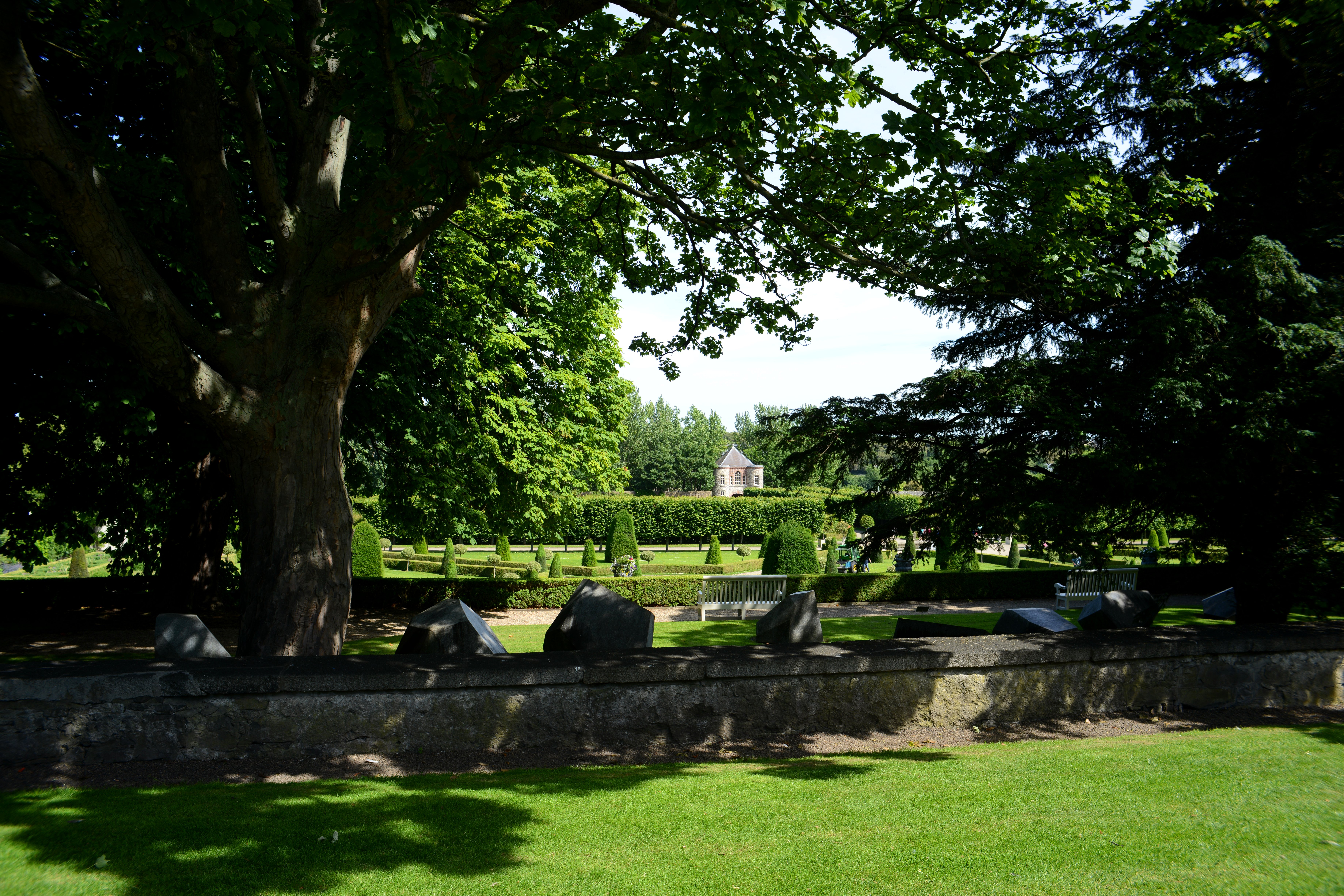 The Formal Garden at The Royal Hospital KilmainhamHeritage attraction · 1.6 mi
 Rathgar CastleCastle, unclassified · 2.0 mi
 European PearEuropean Pear · 2.0 mi
Other information
Photo: Credit not shown in the picture search · Rights wording not checked; contact us if this picture should be removed