What is recorded here
ENCLOSURE (RATH?) in Tullyhubbert, County Down, Ireland, is an uncertain archaeological site marked only by a central point on an official map. The question mark behind Rath suggests doubt about whether it was a fortress, a boundary, or merely a hollow in the land. That hesitation is the truth of the place: a ghost shape waiting for proof, perhaps hiding a chamber, a gate, or a forgotten life.
The official Northern Ireland record identifies this as ENCLOSURE (RATH?). Recorded period: UNCERTAIN. The official map point was placed at the centre of the recorded archaeological site from the source map reference.
The monument record does not grant public access. Check the route and ask the landowner before entering private land.
- What survives
- Recorded monument
Places near here
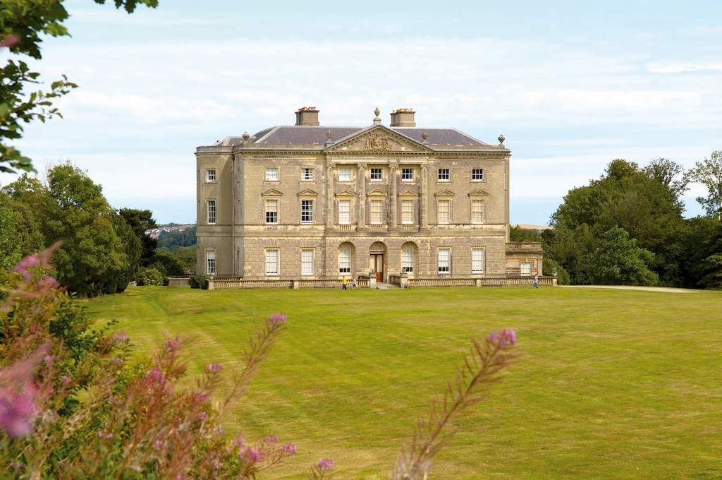 ENCLOSURE in BallycreelyENCLOSURE · 1.0 mi
 ENCLOSURE in BallyallolyENCLOSURE · 1.2 mi
 Granshaw Presbyterian ChurchChurch · 1.7 mi
 Ballygowan Presbyterian ChurchChurch · 2.0 mi
 FORTIFICATION (site of): MOUNT ALEXANDER CASTLE in Mount AlexanderFORTIFICATION (site of): MOUNT ALEXANDER CASTLE · 3.4 mi
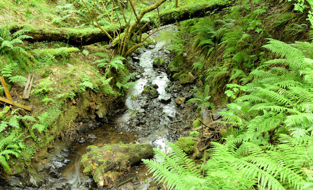 Cregagh GlenWood · 4.0 mi
 Battle of Saintfield (1798)Battlefield · 4.1 mi
 Lisnabreeney WaterfallWaterfall · 4.1 mi
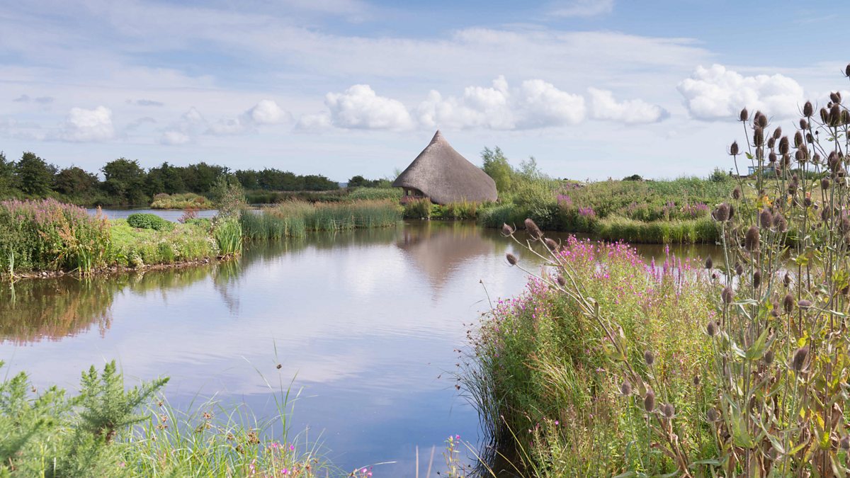 BAWN: CASTLE ESPIE in Castle EspieBAWN: CASTLE ESPIE · 4.6 mi
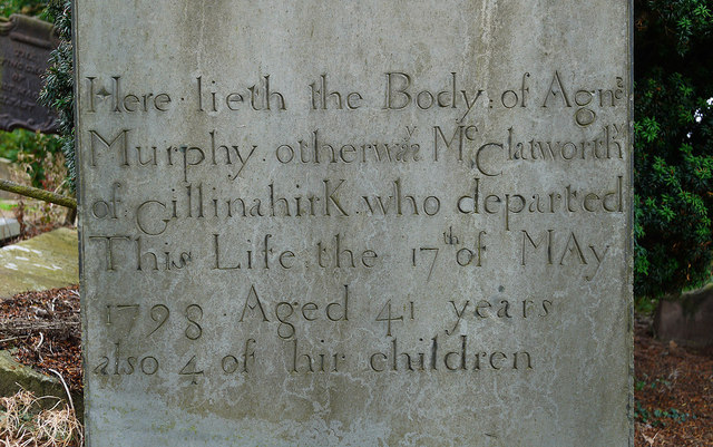 CHURCH RUINS & GRAVEYARD: KNOCK/DUNDELA in KnockCHURCH RUINS & GRAVEYARD: KNOCK/DUNDELA · 4.6 mi
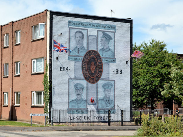 Victoria Crosses of the 36th Ulster DivisionMemorial · 4.7 mi
 Highway to Health, CastlereaghWalking route · 4.9 mi