
What is recorded here
The official Northern Ireland record identifies this as a Grade B2 listed building. Recorded construction date: 1820 - 1839. Current recorded use: Church.
The official record and map point do not grant access. Many historic buildings are privately owned; view them only from public ground unless the owner allows entry.
Places near here
 ENCLOSURE in BallygowanENCLOSURE · 580 yd
 ENCLOSUREENCLOSURE, RATH? · 843 yd
 Battle of Saintfield (1798)Battlefield · 2.9 mi
.jpg?width=1280) Saintfield StationRailway Station Structures · 3.1 mi
Saintfield StationRailway Station Structures · 3.1 mi First Presbyterian ChurchChurch · 3.3 mi
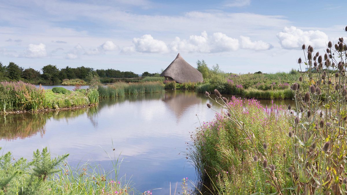 BAWN: CASTLE ESPIE in Castle EspieBAWN: CASTLE ESPIE · 4.0 mi
 FORTIFICATION (site of): MOUNT ALEXANDER CASTLE in Mount AlexanderFORTIFICATION (site of): MOUNT ALEXANDER CASTLE · 4.0 mi
 Post-Medieval church & graveyard in TullynakillPost-Medieval church & graveyard · 4.3 mi
 Castle Espie Wetland CentreNature reserve · 4.4 mi
 Wood IslandIslet · 4.9 mi
 Rough IslandIslet · 5.1 mi
 Braniel HillMountain / peak · 5.4 mi
Other information
Photo: Albert Bridge · CC BY-SA 2.0