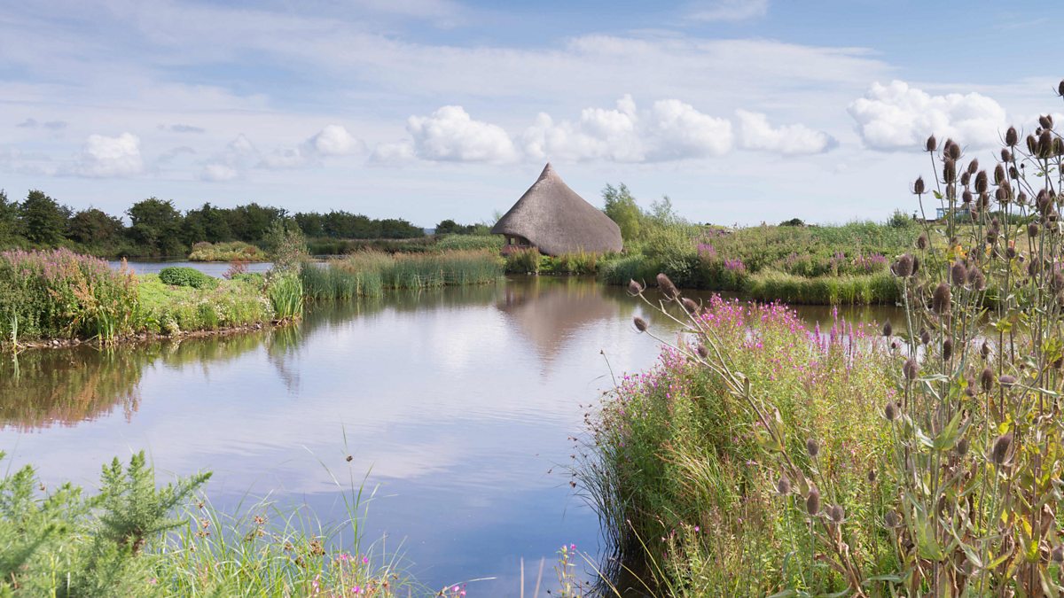
What is recorded here
The official Northern Ireland record identifies this as BAWN: CASTLE ESPIE. Recorded period: UNCERTAIN. The official map point was placed at the centre of the recorded archaeological site from the source map reference.
A local castle; wider significance not recorded.
The monument record does not grant public access. Check the route and ask the landowner before entering private land.
- What survives
- Recorded monument
Places near here
 Castle Espie Wetland CentreNature reserve · 871 yd
 Brickworks; cf IHR 2781 in Castle EspieBrickworks; cf IHR 2781 · 1025 yd
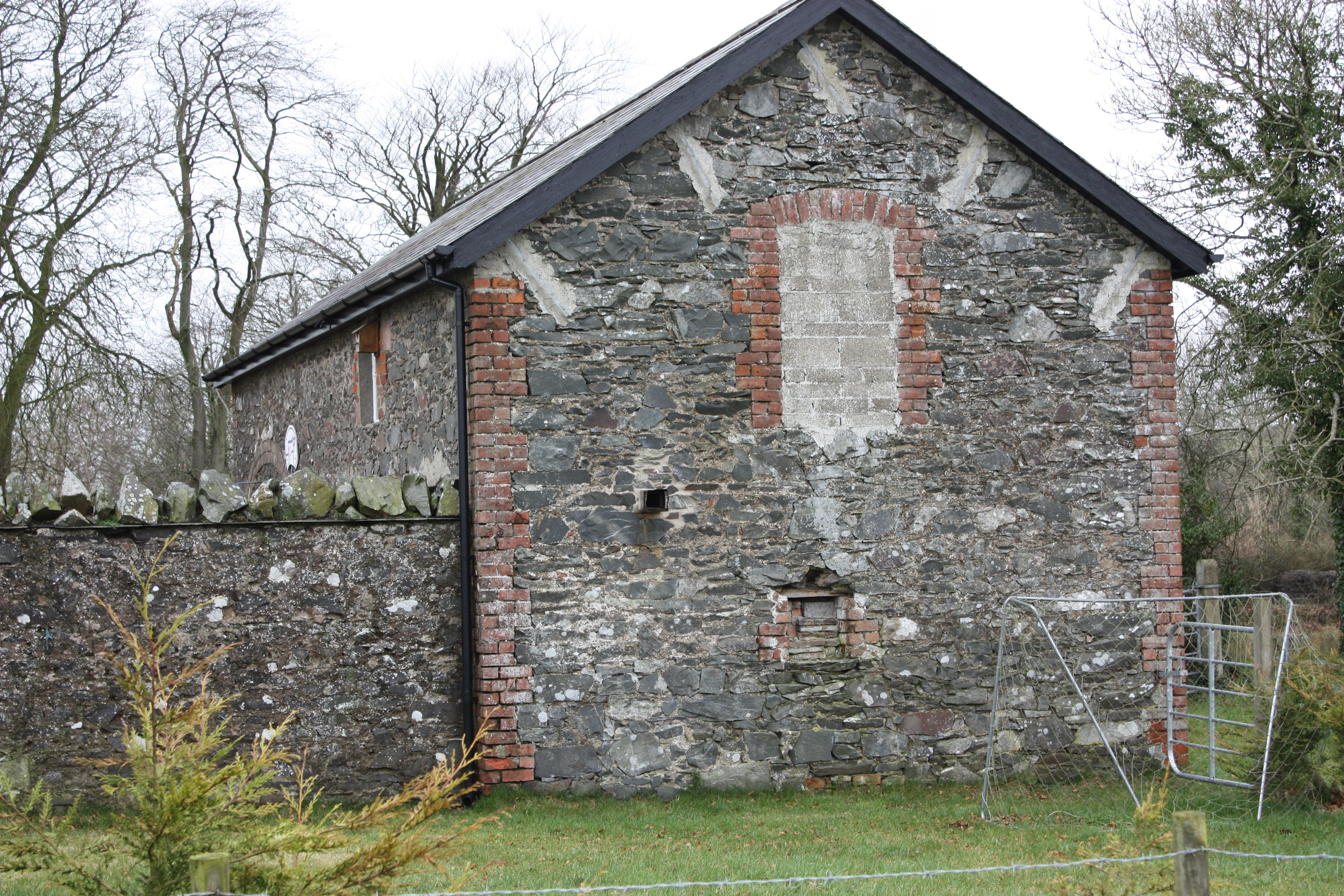 ENCLOSURE in BallyglighornENCLOSURE · 1161 yd
 STONE PIER in Castle EspieSTONE PIER · 1254 yd
 Rough IslandIslet · 1.2 mi
 Post-Medieval church & graveyard in TullynakillPost-Medieval church & graveyard · 2.0 mi
 Second Comber Presbyterian ChurchChurch · 2.0 mi
 FORTIFICATION (site of): MOUNT ALEXANDER CASTLE in Mount AlexanderFORTIFICATION (site of): MOUNT ALEXANDER CASTLE · 2.4 mi
 Wood IslandIslet · 2.5 mi
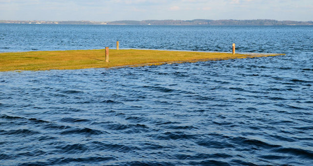 Ringneill QuayBay · 2.6 mi
 Island Reagh, Strangford LoughWalking route · 3.0 mi
 Mahee CastleCastle · 3.1 mi
Other information
Photo: Credit not shown in the picture search · Rights wording not checked; contact us if this picture should be removed