
What is recorded here
Located on a gentle W and N-facing slope down to the small Taghart Lough at W. A large D-shaped enclosure (dims c. 110m E-W; c. 110m N-S) with the straight side against the NE-SW lakeshore at W is most clearly visible on Google Earth (17/01/2020) but is also visible on other Google images. It appears to be defined by an earthen bank (Wth c. 5m) and outer fosse (Wth c. 5m) NW-NE, and by a fosse alone NE-S. A WNW-ESE field bank and drain truncates the SW edge of the enclosure and it does not appear to survive S of this feature. The field in which it is located has relict WNW-ESE cultivation ridges running parallel with the S field bank. It is also visible on other aerial images, and it was first reported by Jean Charles Caillére.
See the attached enhanced view from Google Earth (17/01/2020)
Compiled by: Michael Moore
Date of upload: 12 July 2022
A large D-shaped early-medieval ringfort (rath) likely dating to the 6th–10th centuries, situated near Taghart Lough. Local tradition associates such sites with fairy dwellings, and they were often considered places of both habitation and supernatural significance in Irish folklore.
The monument record does not grant public access. Check the route and ask the landowner before entering private land.
- What survives
- Recorded monument
Places near here
 Taghart South ForestForest · 825 yd
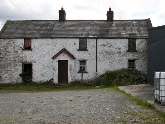 farm housefarm house · 1257 yd
 St Joseph's Roman Catholic Churchchurch/chapel · 1383 yd
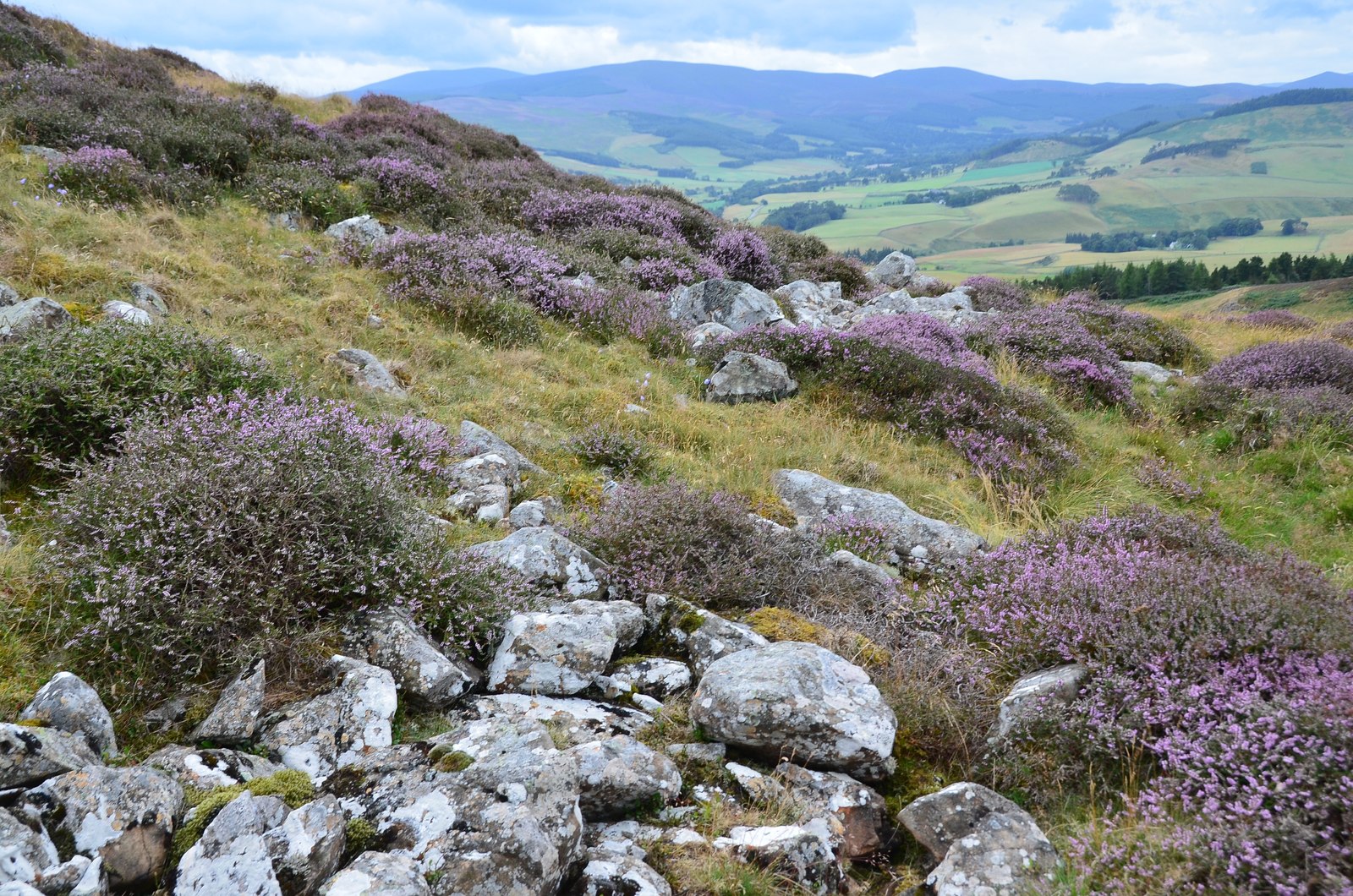 Black Fort (Site of)Fairy fort / earthen ringfort · 1.2 mi
 IndicatedEnclosure · 1.3 mi
 CornamaghMountain / peak · 1.7 mi
 NorthlandsWood · 1.7 mi
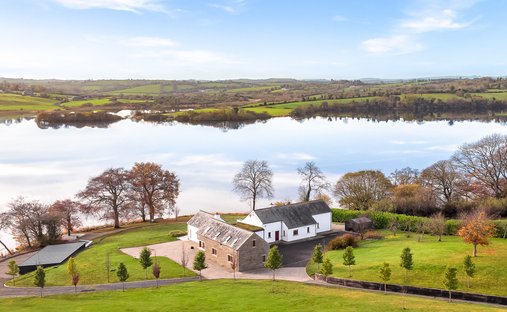 BracklinMountain / peak · 1.9 mi
 Green IslandIsland · 2.2 mi
 Giants GraveArchaeological place · 2.9 mi
 Bawn in LisdrumskeaBawn · 3.1 mi
 Fair of MuffMemorial · 3.1 mi
Other information
Photo: Credit not shown in the picture search · Rights wording not checked; contact us if this picture should be removed