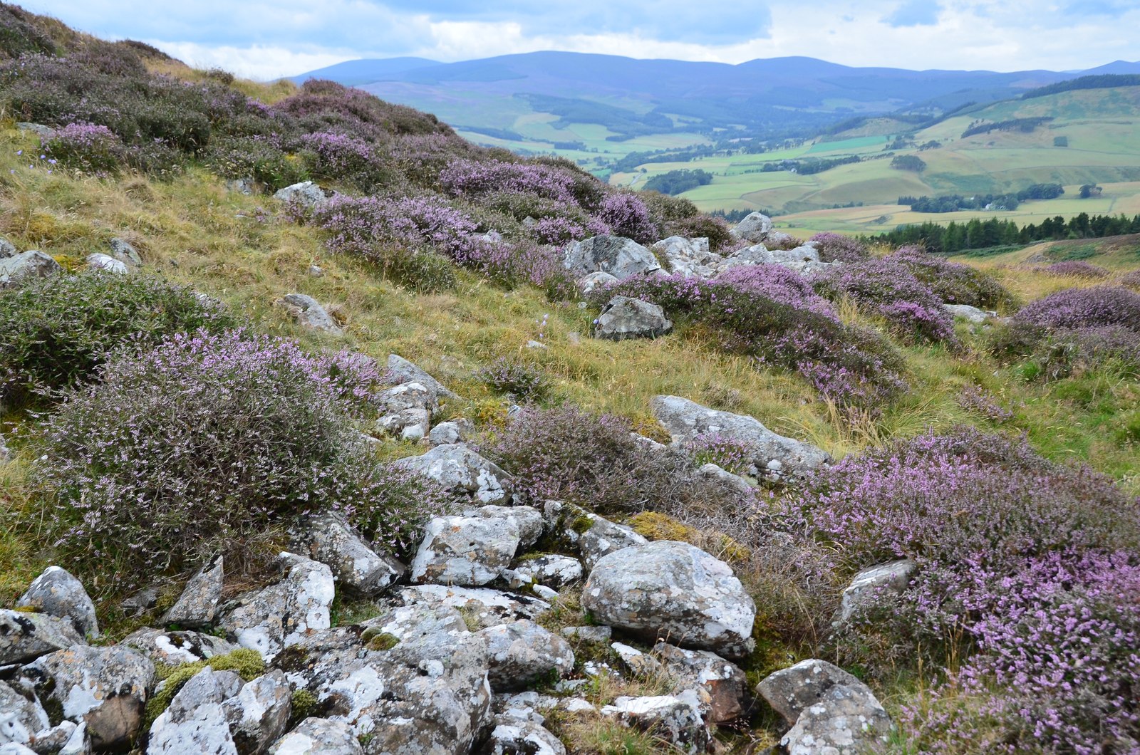
What is recorded here
Mortars and machines erased the fort, but resistance is not a line on a page. It is a visible warning that the claim can be taken back. The black fort still stands in the warning.
Marked 'Black Fort' on OS 1836 ed. and 'Site of' on 1876 ed. Site has been levelled.
The above description is derived from the published 'Archaeological Inventory of County Cavan' (Dublin: Stationery Office, 1995). In certain instances the entries have been revised and updated in the light of recent research.
Date of upload/revision: 22 December 2008
The monument record does not grant public access. Check the route and ask the landowner before entering private land.
- What survives
- Recorded monument
Places near here
 Black FortArchaeological place · 24 yd
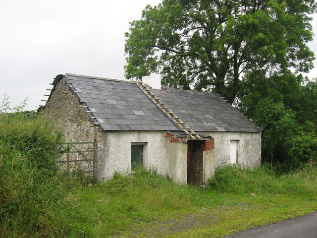 IndicatedFairy fort / earthen ringfort · 1212 yd
 Church in NolaghChurch · 1496 yd
 Glasleck Presbyterian Churchchurch/chapel · 1630 yd
 NolaghWood · 1.1 mi
 Taghart South ForestForest · 1.5 mi
 Green IslandIsland · 1.6 mi
 DerrynureMountain / peak · 1.7 mi
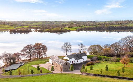 BracklinMountain / peak · 1.9 mi
 Welcome to Bailieborough DemesneVisitor information · 2.7 mi
 Bawn in LisdrumskeaBawn · 2.9 mi
 Bush IslandIslet · 3.1 mi
Other information
Photo: Credit not shown in the picture search · Rights wording not checked; contact us if this picture should be removed