What is recorded here
In tillage. An oval enclosure (diams. c. 67m NW-SE; 50m NE-SW) visible as a cropmark on Google Earth (imagery date 28 June 2018), identified and reported by Simon Dowling.
See attached Google Earth image taken 28 June 2018
Compiled by: Jean Farrelly
Date of upload: 10 April 2019
The monument record does not grant public access. Check the route and ask the landowner before entering private land.
- What survives
- Recorded monument
Places near here
 Rathcoole Church (in ruins)Church · 325 yd
 Enclosure in Carrigeen (gowran By.)Enclosure · 327 yd
 IndicatedBawn · 843 yd
 Site of Kilkieran ChurchChurch · 1003 yd
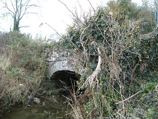 Kilkieran Bridgebridge · 1491 yd
 Gleann Dick ForestForest · 1.4 mi
 The CummerForest · 1.8 mi
 St. Mogarra’s WellSpring · 2.1 mi
 Clara CastleCastle, tower house · 2.1 mi
 KilkennyVisitor information · 3.3 mi
 Kilkenny County Council Car ParkVisitor information · 3.4 mi
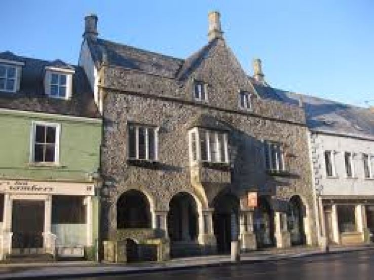 Rothe familyMemorial · 3.6 mi