
What is recorded here
Located towards the top of a NE-facing slope. The cropmark of a large enclosure (diam. c. 90m NE-SW) defined by a single narrow fosse feature was recorded on a drone-mounted camera by Paid Bates (Skypix) in July 2018, but the perimeter can only be seen SW-N-NE. The cropmarks of field drains can be seen radiating off it to the SW and NW. Although it is not recorded on any edition of the OS map it may have been an ornamental feature, perhaps enclosing a wood, and related to the Colclogh residence at Tintern Abbey c. 0.5km to the N. A length (L c. 100m; Wth c. 10m) of the old road from Clonmines and Tintern to Saltmills is visible just to the E as two narrow drain features aligned N-S.
Compiled by: Michael Moore based on details provided by Alan Ryan.
Date of upload: 24 July, 2018
The monument record does not grant public access. Check the route and ask the landowner before entering private land.
- What survives
- Recorded monument
Places near here
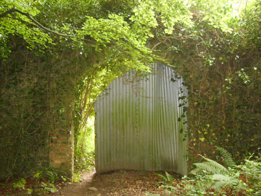 Tintern Abbeywalled garden · 348 yd
 Abbey Bridgebridge · 487 yd
 Lady WellHoly well · 504 yd
 Grave YardGraveyard · 580 yd
 1798Memorial · 659 yd
 Saltmills Explosion MemorialMemorial · 1446 yd
 Site of CastleCastle, unclassified · 1.4 mi
 Grange BeachBeach / strand · 1.9 mi
 CastleCastle, motte · 2.0 mi
 AshgroveVisitor information · 2.6 mi
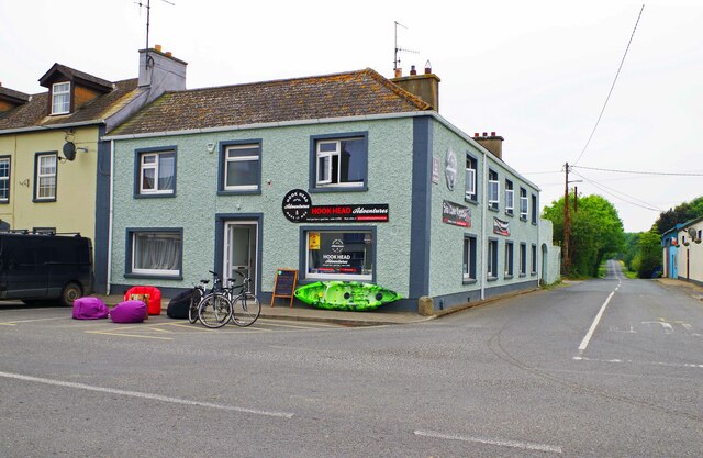 Hook Tourism (Fethard Office)Visitor information · 2.8 mi
 Carricjmore CliffCliff · 3.4 mi
Other information
Photo: Credit not shown in the picture search · Rights wording not checked; contact us if this picture should be removed