What is recorded here
Situated on a slight E-facing slope. The cropmark of a large subrectangular or D-shaped enclosure (ext. dims c. 90m N-S; c. 80m E-W) is visible on oblique aerial photographs (CUCAP: AYR056-057; BDH029-030; BDK005) from 1969-70. The straight sides are at W and S, and its curved edge is parallel with a mapped field bank but is not incorporated in it. The enclosure is defined by two ditches that were probably on either side of an earthen bank (Wth c. 5m plus), and the interior is quartered by drains. It is also visible on Google Earth (12/07/2013; 06/06/2016).
The abive description is derived from the published 'Archaeological Inventory of County Meath' (Dublin: Stationery Office, 1987). In certain instances the entries have been revised and updated in the light of recent research.
Compiled by: Michael Moore
Date of upload: 10 July 2007
Amended: 5 November 2021
The monument record does not grant public access. Check the route and ask the landowner before entering private land.
- What survives
- Recorded monument
Places near here
 Enclosure in BallintryEnclosure · 1091 yd
 Caulstown Christmas Tree FarmForest · 1364 yd
 Enclosure in CalliaghweeEnclosure · 1393 yd
 Wesley's WoodsWood · 1.3 mi
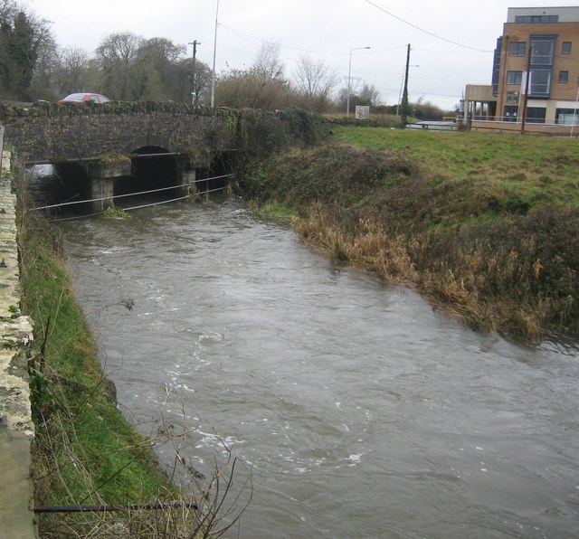 Clonee Bridgebridge · 1.9 mi
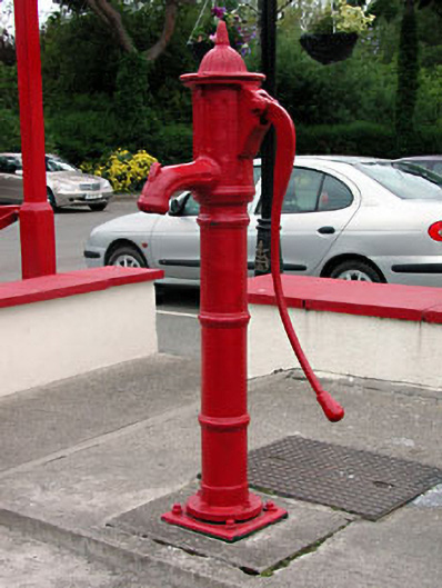 water pumpwater pump · 2.0 mi
 Kilbride MoatCastle, motte · 2.1 mi
 CastleCastle, ringwork · 2.3 mi
 Graveyard in BuzzardstownGraveyard · 2.7 mi
 Blanchardstown Centre information deskVisitor information · 3.7 mi
 Church, GraveyardChurch · 3.8 mi
 Ash HillMountain / peak · 4.3 mi