
What is recorded here
Situated on a fairly level landscape, at the crest of a slight slope down to the valley of the N-S Pinkeen River c. 50m to the W. Aerial photograph (GB89.AE.06) shows the cropmark of a curvilinear enclosure (diam. c. 45m) defined by a fosse, with an entrance facing south leading into a contiguous rectilinear enclosure. The enclosure is also visible on Google Earth (24/06/2018).
See the attached enhanced view from Google Earth (24/06/2018)
Compiled by: Dr Gillian Barrett for the Archaeological Survey of Ireland.
Date of upload: 10 June 2009
A local fairy fort (ringfort/rath); wider significance not recorded.
The monument record does not grant public access. Check the route and ask the landowner before entering private land.
- What survives
- Recorded monument
Places near here
 Enclosure in PowerstownEnclosure · 902 yd
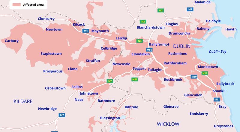 Ring-ditch in PowerstownRing-ditch · 935 yd
 Wesley's WoodsWood · 1.3 mi
 TyrrelstownWood · 1.5 mi
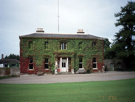 Tyrrelstown Housecountry house · 1.5 mi
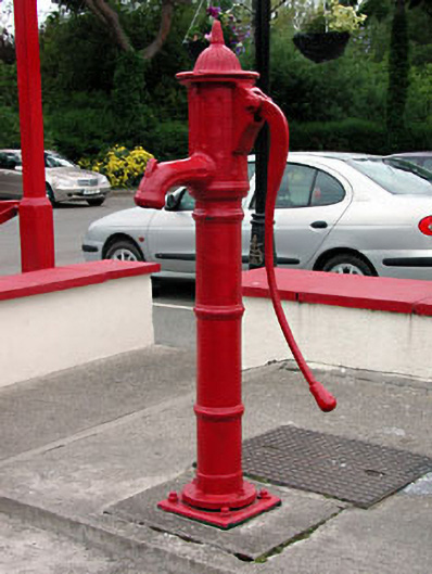 water pumpwater pump · 1.7 mi
 Graveyard in BuzzardstownGraveyard · 1.9 mi
 Kilbride MoatCastle, motte · 2.1 mi
 Blanchardstown Centre information deskVisitor information · 2.9 mi
 Church, GraveyardChurch · 3.2 mi
 Depicted Kilshane MoatCastle, motte · 3.4 mi
 ChimpanzeeHeritage attraction · 6.7 mi
Other information
Photo: Credit not shown in the picture search · Rights wording not checked; contact us if this picture should be removed