What is recorded here
At the crest of the SE-facing slope of a NW-SE ridge, and to the S of raths (RO039-035001-; RO039-035002-). An enclosure or annexe, or a subrectangular field (dims c. 100m E-W; c. 70m N-S) defined by an earthen bank and fosse (Wth c. 2m; D c. 0.6m) which connected the two raths (Knox 1915 289) no longer survives.
Compiled by: Michael Moore
Date of upload: 24 August 2010
The monument record does not grant public access. Check the route and ask the landowner before entering private land.
- What survives
- Recorded monument
Places near here
 Embanked enclosureFairy fort / earthen ringfort · 76 yd
 Enclosure in RathbrenanEnclosure · 509 yd
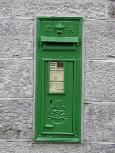 post boxpost box · 1.1 mi
 RoadRoad, road/trackway · 1.2 mi
 Roscommon CastleCastle · 2.2 mi
 European YewEuropean Yew · 2.5 mi
 European ashEuropean ash · 2.5 mi
 CastleCastle, unclassified · 3.3 mi
 Sally IslandIslet · 5.8 mi
 Castle KellyCastle, tower house · 7.6 mi
 Mount MaryMountain / peak · 7.7 mi
 Site of Killomaine Grave YardArchaeological place · 8.3 mi
Other information
Photo: Credit not shown in the picture search · Rights wording not checked; contact us if this picture should be removed