What is recorded here
In level pasture on slight rise, 170m NE of the townland boundary with Elmpark Demesne. Present remains consist of a raised roughly oval-shaped area (dims. 42m NNW-SSE x 56m WSW-ENE) enclosed by an earth and stone bank (H 0.4m; base Wth 3.2m) from NE through to SE and a scarp (H 0.4m; base Wth 2.4m) from SE through to N. The interior is slightly undulating. The outline of the monument is visible on Google Earth orthoimage taken 2019.
See attached Google Earth orthoimage taken 19/11/2019 and 25/03/2017
Compiled by: Fiona Rooney
Date of upload: 19 June 2020
A local fairy fort (ringfort/rath); wider significance not recorded.
The monument record does not grant public access. Check the route and ask the landowner before entering private land.
- What survives
- Recorded monument
Places near here
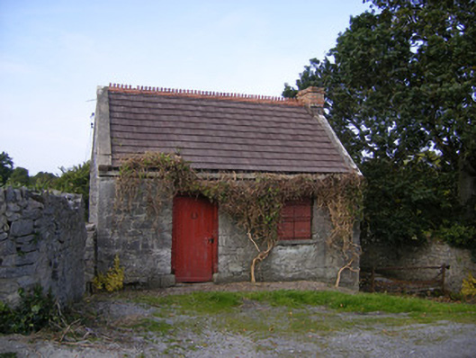 The Forgeforge/smithy · 259 yd
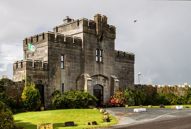 Elm Park Housegate lodge · 636 yd
 BarrowBarrow, unclassified · 944 yd
 Enclosure in Island-DuaneEnclosure · 1636 yd
 Meelick Ho.House, fortified house · 1.4 mi
 Carrigogunnell CastleRuins · 1.6 mi
 St James's WellSpring · 1.6 mi
 Sailors HaggardMemorial · 2.6 mi
 Grass IslandIslet · 4.8 mi
 Maiden RockNamed rock · 5.1 mi
 Mellon PointHeadland · 5.7 mi
 Bunratty Castlehouse · 6.1 mi