
What is recorded here
In pasture on slight W facing slope, 300m SW of the Barnakyle River, 200m NW of Elmpark House. No surface remains visible. Potential monument identified from examination of 1:10k OSi aerial photographs (OS5 740; Nr 0686) where the outline of an enclosure was identified. This earthwork is not indicated on the 1840 OS 6-inch map or subsequent OS maps. Outline of a circular-shaped area defined by a bank (approx. overall dims. 70m N-S, 62mE-W) with trace of bank running NE from E and possible rectangular annexe/enclosure to the immediate W visible on Digital Globe orthophoto taken 2011-2013. Traces of a second smaller enclosure or possible barrow (LI012-163----) 100m to the NW. Outline of monument clearly visible on Google Earth orthoimages taken between 2009/2019.
See attached Google Earth orthoimages
Compiled by: Fiona Rooney
Date of upload: 22 June 2020
The monument record does not grant public access. Check the route and ask the landowner before entering private land.
- What survives
- Recorded monument
Places near here
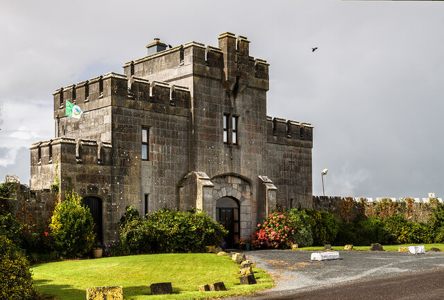 Elm Park Housegate lodge · 562 yd
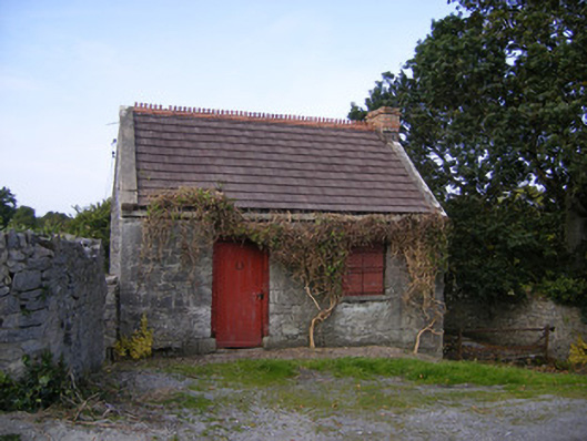 The Forgeforge/smithy · 741 yd
 Grave YardGraveyard · 1332 yd
 Meelick Ho.House, fortified house · 1551 yd
 CloughregaunMegalithic structure · 1.1 mi
 Carrigogunnell CastleRuins · 1.3 mi
 St James's WellSpring · 1.6 mi
 Sailors HaggardMemorial · 2.5 mi
 Grass IslandIslet · 4.4 mi
 Maiden RockNamed rock · 4.7 mi
 Mellon PointHeadland · 5.3 mi
 Bunratty Castlehouse · 5.8 mi
Other information
Photo: Credit not shown in the picture search · Rights wording not checked; contact us if this picture should be removed