What is recorded here
Enclosure was a vast, feebly defended ring of earth beside the Kilcolgan River, large enough to swallow a hundred lives yet so thin it surrendered to the first patient plough. It vanished from the living land before the twentieth century ended, erased by ordinary farming rather than war or wonder. Only shadow and memory remain, proving that strength is not size but resistance to forgetting.
In farmland, c. 160m to the N of the estuary of the Kilcolgan River. Marked on the 1838 edition of the OS 6-inch map as a circular enclosure (diam. c. 80m) which was clipped by a NNE-SSW running field boundary at NW and SW; partially levelled by the time of the 1933 edition. Described by Redington (1912b, 176) as ‘the remains of a very large but feebly defended fort or camp’ which was defined by ‘one enclosing bank … and a shallow ditch’. McCaffrey (1952, 202, no. 21) recorded that due to tillage operations, all that was evident was a ‘portion of a bank’ (L c. 172m). On inspection in December 1982 no visible surface trace survived. However, faint traces of its outline are evident on current aerial imagery (Google 2019).
Compiled by: Galway Archaeological Survey, UCG
Date of upload: 27 August 2019
The monument record does not grant public access. Check the route and ask the landowner before entering private land.
- What survives
- Recorded monument
Places near here
 Rahaneena FortFairy fort / earthen ringfort · 474 yd
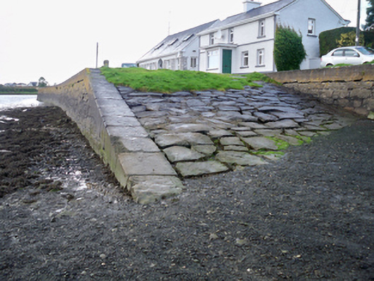 quay/wharfquay/wharf · 481 yd
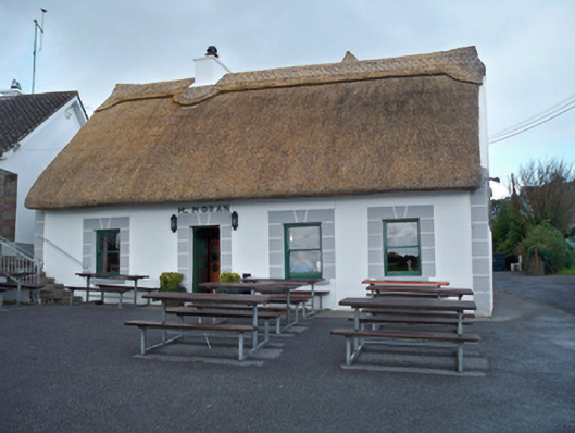 M. Moranhouse · 512 yd
 Grave YardGraveyard · 749 yd
 Site of Kilcolgan CastleCastle, tower house · 1603 yd
 Drumacoo Monastic SiteHeritage attraction · 1740 yd
 MweenisharanIslet · 1.8 mi
 Bawn in Cregganna MoreBawn · 1.9 mi
 Loughaun WoodWood · 2.0 mi
 Kilcornan ForestWood · 2.0 mi
 Mweenish PointHeadland · 2.9 mi
 Fiddaun IslandIslet · 3.0 mi