
What is recorded here
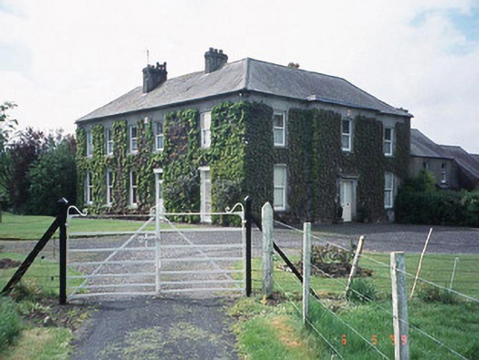
E portion under tillage. A large bivallate curvilinear possible enclosure (overall dims. c. 190m NW-SE) visible as a cropmark on satellite imagery (Google Earth, 28 March 2019), identified and reported by Jean-Charles Caillère. The NW-N-E perimeter of a possible enclosure is defined by a two fosses, c. 5-6m apart, the inner fosse is wider and deeper than the outer fosse. If, as seems likely, the fosse continues to form a roughly circular or oval enclosure, Park House and outbuildings occupies the SW-W portion of the enclosure.
See attached photograph:
CW007-184----_01 Satellite image (Google Earth, 28 March 2019)
Compiled by: Jean Farrelly
Date of upload: 13 July 2022
A large bivallate curvilinear enclosure, likely an early-medieval ringfort or rath, visible as a cropmark in a parkland setting; no specific folklore or historical tradition is associated with the site.
The monument record does not grant public access. Check the route and ask the landowner before entering private land.
- What survives
- Recorded monument
Places near here
 Enclosure in BallinacarrigEnclosure · 961 yd
 Enclosure in QuinaghEnclosure · 1175 yd
 Saint Joseph's Catholic Churchchurch/chapel · 1.1 mi
 Kilmeany Househouse · 1.1 mi
 Carlow County MuseumMuseum · 2.1 mi
 Clogrenan CastleCastle, tower house · 2.2 mi
 CastleCastle, Anglo-Norman masonry castle · 2.2 mi
 VISUAL Centre for Contemporary ArtGallery · 2.2 mi
 Pedunculate OakPedunculate Oak · 2.3 mi
 White willowWhite willow · 2.7 mi
 Graveyard in Tomard Lower (3 Detached Portions)Graveyard · 3.9 mi
 Kilmurry Church (in ruins), GraveyardChurch · 4.2 mi
Other information
Photo: Credit not shown in the picture search · Rights wording not checked; contact us if this picture should be removed