What is recorded here
On the S-facing slope of a ridge, c. 20m to the N of the Clarinbridge River in the old demesne land associated with Kilcornan House. This D-shaped enclosure (c. 106m E-W; c. 82m N-S), in fair condition, is defined by a bank and external fosse which curve from SW through N to SE; elsewhere a straight scarp forms the enclosing element. There is a causewayed entrance gap (Wth 3.6m) at ESE. The interior is subdivided by a series of low earthen banks. An old trackway lies immediately to the S and a road runs immediately to the N. (Redington 1912b, 174-5; Westropp 1919, 177; Killanin and Duignan 1967, 153)
Compiled by: Galway Archaeological Survey, UCG
Date of upload: 27 August 2019
The monument record does not grant public access. Check the route and ask the landowner before entering private land.
- What survives
- Recorded monument
Places near here
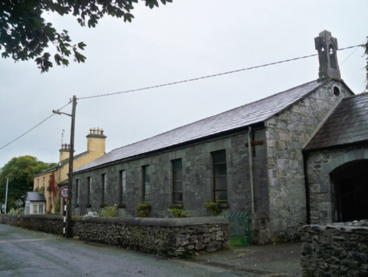 Saint Mary's Catholic Chapelschool · 323 yd
 Catholic Church of the Annunciationchurch/chapel · 405 yd
 Loughaun WoodWood · 635 yd
 Kilcornan ForestWood · 1096 yd
 Enclosure in Kilcornan (dunkellin By.)Enclosure · 1403 yd
 IndicatedFairy fort / stone ringfort · 1.1 mi
 Site of Kilcolgan CastleCastle, tower house · 1.4 mi
 Bawn in Cregganna MoreBawn · 1.6 mi
 Drumacoo Monastic SiteHeritage attraction · 2.5 mi
 MweenisharanIslet · 3.4 mi
 Mweenish PointHeadland · 4.3 mi
 Fiddaun IslandIslet · 4.6 mi
Other information
Photo: Credit not shown in the picture search · Rights wording not checked; contact us if this picture should be removed