
What is recorded here
On the S-facing slope of a hillock in pastureland. This heavily overgrown and poorly preserved rectangular enclosure (c. 55m E-W; c. 46m N-S) is defined by two banks and an intervening fosse. The inner bank (Wth 0.9m; base Wth 6m; int. H 2.4m; ext. H 2.5m) is best preserved along the W side. Later causeways cross it along the S side and at the SW and NW corners. The fosse (Wth 1.6m) is filled with rubble. The outer bank (base Wth 3.4m; int. H 0.8m; ext. H 0.9m) is also best preserved along the W side, though field rubble is packed against its outer face. A field wall overlies it along the N side and it is much denuded along the E and S sides. The interior is divided by a N-S running field wall. A structure (GA095-054001-) is evident in the NE quadrant. (Redington 1912, 172-4; Westropp 1919, 176-7; McCaffrey 1952, 134, no. 41)
Compiled by: Galway Archaeological Survey, UCG
Date of upload: 2 April 2019
The monument record does not grant public access. Check the route and ask the landowner before entering private land.
- What survives
- Recorded monument
Places near here
 Loughaun WoodWood · 779 yd
 Kilcornan WoodWood · 1162 yd
 EnclosureEnclosure, large enclosure · 1403 yd
 Chapel (in Ruins)Church · 1447 yd
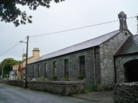 Saint Mary's Catholic Chapelschool · 1650 yd
 Toberbrackan CastleCastle, unclassified · 1.1 mi
 ToberbrackanHoly well · 1.2 mi
 Bawn in Cregganna MoreBawn · 1.8 mi
 Drumacoo Monastic SiteHeritage attraction · 3.3 mi
 MweenisharanIslet · 4.2 mi
 Leadmine HillMountain / peak · 4.9 mi
 Mweenish PointHeadland · 5.0 mi
Other information
Photo: Credit not shown in the picture search · Rights wording not checked; contact us if this picture should be removed