
What is recorded here
Indicated as a large subcircular enclosure (diam. c. 83m NE-SW; c. 76m NW-SE) and as an irregular-shaped subrectangular enclosure (dims. c. 80m NE-SW; c. 73m NW-SE at the SW side tapering to c. 56m at the NE side. A townland boundary runs along the outer edge of the NW side and a field boundary runs along the NE and the SW perimeter. Agricultural buildings, including a large shed, have been constructed in the narrow rectangular field which adjoins the SW side of the enclosure.
Compiled by: Jean Farrelly
Date of upload: 1 March 2022
The monument record does not grant public access. Check the route and ask the landowner before entering private land.
- What survives
- Recorded monument
Places near here
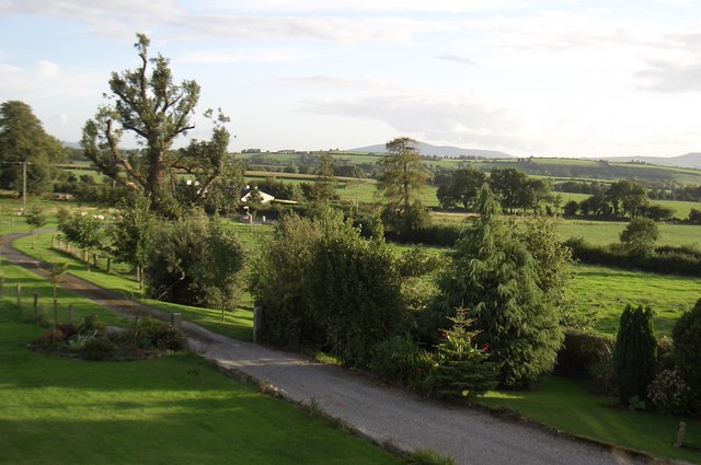 CroghanMountain / peak · 1589 yd
 IndicatedEnclosure · 1693 yd
 ToberelleenHoly well · 1.5 mi
 Church (in ruins)Church · 1.7 mi
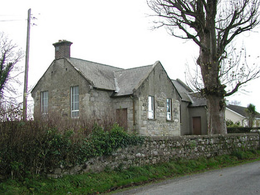 Skeaghvasteen National Schoolschool · 1.7 mi
 Tinnakeenly BogForest · 2.3 mi
 High HillForest · 2.6 mi
 CastleCastle, tower house · 2.7 mi
 Neigham CastleCastle, tower house · 2.8 mi
 Monastic MillsMemorial · 3.5 mi
 Bianconi ArchwayMemorial · 3.6 mi
 Freney's WellSpring · 4.0 mi
Other information
Photo: Credit not shown in the picture search · Rights wording not checked; contact us if this picture should be removed