What is recorded here
In tillage. A large circular enclosure (diam. c. 105m), defined by a fosse, identified as a cropmark on Apple Maps satellite imagery (no date) by Jean-Charles Caillère. There is a roughly concentric outer fosse visible from SSE-S-W c. 20-25m from the inner fosse. See attached photograph:
TN004-048----_01 Image © Apple Maps satellite imagery (no date)
Compiled by: Jean Farrelly
Date of upload: 8 January 2020
From the National Monuments Service (Archaeological Survey of Ireland) record TN004-048
The monument record does not grant public access. Check the route and ask the landowner before entering private land.
- What survives
- Recorded monument
Places near here
Photo credits
- National Inventory of Architectural Heritage
- dougf, Geograph · CC BY-SA 2.0
- Willow, Wikimedia Commons · CC BY 2.5
- Maker named on the Wikimedia Commons picture page · Public domain
- Jason Keane, Geograph · CC BY-SA 2.0
- Dylan Moore, Geograph · CC BY-SA 2.0
- Liffernet, Wikimedia Commons · CC BY-SA 4.0
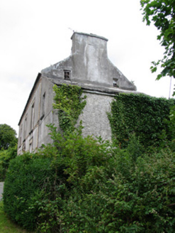 miller's house592 yd
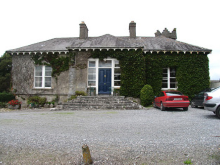 Ballyquirk CastleCountry house · 903 yd
 Ballyquirk CastleCastle · 1272 ydSlevoir BayBay · 1.8 mi
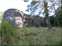 Old CourtCastle, Anglo-Norman masonry castle · 2.9 mi
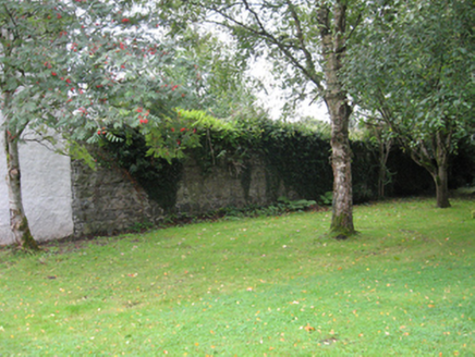 Portumna CastleWalled garden · 3.5 mi
 European ash3.5 mi
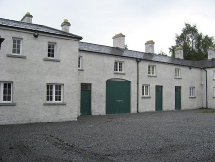 Portumna CastleStables · 3.6 mi
 Black mulberry3.6 mi
 Church IslandIslet · 4.4 mi
 BorrisokaneHistoric town · 4.7 mi
 Sheela-na-gig in BallyfinboySheela-na-gig · 4.8 mi
More archaeology and monuments in County Tipperary · All of County Tipperary
What do you know about this place?