What is recorded here
Large circular-shaped area (approx. diam. 68m) enclosed by an earthen bank visible on Digital Globe aerial photographs. Field now planted with coniferous plantation which is visible on Google Earth orthoimagery taken 03/04/2022. Area where earthwork was recorded was planted with forestry sometime between 2009-2013.
See attached Google Earth orthoimages
Compiled and revised by: Caimin O'Brien
Date of revised upload: 14 February 2023
The monument record does not grant public access. Check the route and ask the landowner before entering private land.
- What survives
- Recorded monument
Places near here
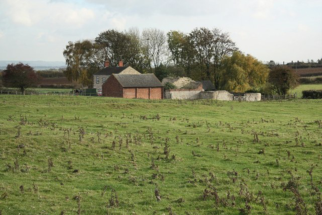 Settlement desertedSettlement deserted, medieval · 632 yd
 CastleCastle, motte and bailey · 661 yd
 Enclosure in DunnamonaEnclosure · 927 yd
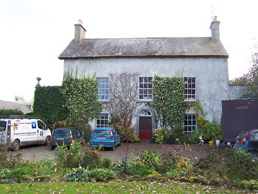 Noughaval Househouse · 1.4 mi
 Noughaval CemeteryArchaeological place · 1.4 mi
 Ardnagragh CastleCastle, tower house · 1.6 mi
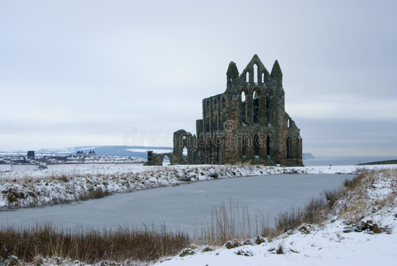 AbbeyReligious house, Carmelite friars · 1.7 mi
 European BeechEuropean Beech · 2.9 mi
 Guest ServicesVisitor information · 4.7 mi
 Target WoodWood · 4.8 mi
 Craft WorkshopHeritage attraction · 4.8 mi
 Newcastle WoodsForest · 5.0 mi