What is recorded here
On a glacial ridge W of Lough Rea. This poorly preserved large enclosure (int. diam. 72m) is defined by a collapsed drystone wall (Wth 1-1.4m; int. H 0.25-0.4m; ext. H 0.25-c. 1m) from SE through W to N; only the foundation courses survive. In the E sector the wall is almost completely indefinable. The interior is very irregular and a children's burial ground (GA105-076001-) it located in the NE quadrant. A NNW-SSE running field wall clips the monument at W.
Compiled by: Galway Archaeological Survey, UCG
Date of upload: 6 September 2018
The monument record does not grant public access. Check the route and ask the landowner before entering private land.
- What survives
- Recorded monument
Places near here
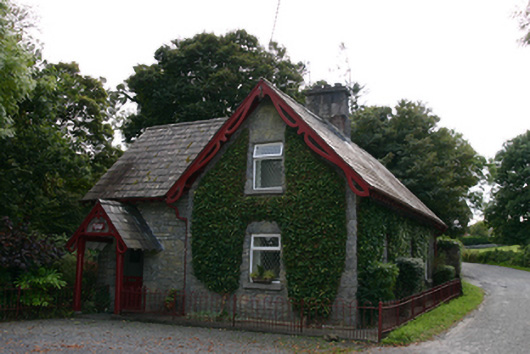 Coorheen Houseschool · 418 yd
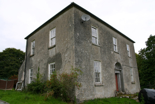 Glenvillecountry house · 539 yd
 Blake's IslandIslet · 1113 yd
 Enclosure in St LaurencesfieldsEnclosure · 1359 yd
 Site of Cloonoo CastleCastle, unclassified · 1626 yd
 Ash IslandIslet · 1.0 mi
 Ritual siteRitual site, holy tree/bush · 1.2 mi
 CastleCastle, tower house · 1.6 mi
 Long PointHeadland · 1.7 mi
 Turoe StoneHeritage attraction · 4.5 mi
 Scalpeen RockNamed rock · 4.8 mi
 Moyard WoodWood · 6.6 mi