What is recorded here
Cropmark of large roughly oval-shaped enclosure (approx. dims. 110m E-W x 140m N-S) visible on Google earth aerial imagery.
See attached images from Google Earth aerial photographs taken 14/07/2018
Compiled by: Caimin O'Brien based on details provided by Jean-Charles Caillère
Date of upload: 09 September 2019
The monument record does not grant public access. Check the route and ask the landowner before entering private land.
- What survives
- Recorded monument
Places near here
 BalislandMonument · 1.0 mi
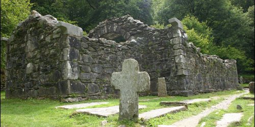 Church in TombreenChurch · 1.3 mi
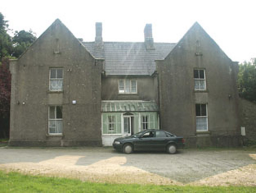 The Old Rectoryrectory/glebe/vicarage/curate's house · 1.4 mi
 Ballyknocker WoodWood · 1.8 mi
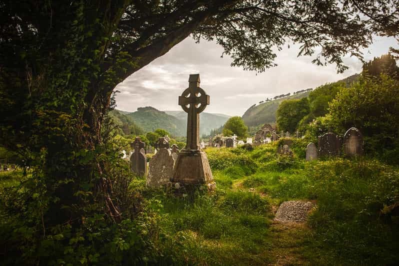 Carrig WoodForest · 1.9 mi
 Gibbet HillMountain / peak · 3.6 mi
 Blue SchoolMemorial · 3.7 mi
 Saint Brigid's WellSpring · 4.2 mi
 SlieveboyMountain / peak · 4.4 mi
 Clonogan Castle (site of)Castle, unclassified · 4.4 mi
 Huntington Castle & GardensHeritage attraction · 4.9 mi