What is recorded here
In grassland, midway along a gentle S-facing slope. This possible large roughly subcircular enclosure (c. 90m E-W; 82.5m N-S) is defined by a low rise from SE to SW, a grassy bank (int. H at W 0.4m; ext. H 0.3m; Wth 2.1m; max. Wth 5.4m) from SW to NW and a low rise from NW to ENE. From ENE to SE no clear surface trace is visible. The avenue (Wth 2m) to Cloonkea House cuts through it from ESE to WSW. A band of nettles (Wth 3-4m) at NW and NE may indicate the line of a fosse. There is no trace of an entrance gap. The interior is clear and featureless apart from some ash and oak trees that are growing to the N and S of the avenue. This monument was brought to our attention by Dr C. Cunniffe.
The following image has been uploaded: GA109-063----_01.jpg View from NW
Compiled by: Olive Alcock
Date of upload: 19 July 2023
This remains an important historical record, but the official description says the monument is no longer visible or has been destroyed. The monument record does not grant public access. Check the route and ask the landowner before entering private land.
- What survives
- No visible remains or recorded as destroyed
Places near here
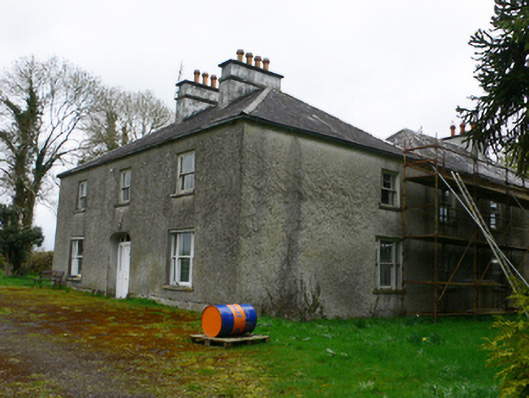 Cloonkeahouse · 248 yd
 CankillyHouse, 20th century · 1020 yd
 ToberdonghaunHoly well · 1356 yd
 Mass-rock (present location) in Brackloon (longford By.)Mass-rock (present location) · 1519 yd
 Lismore CastleCastle, tower house · 1.4 mi
 Horse-chestnutHorse-chestnut · 1.9 mi
 European ashEuropean ash · 1.9 mi
 Clonfert CathedralHeritage attraction · 1.9 mi
 Esker IslandIsland · 2.2 mi
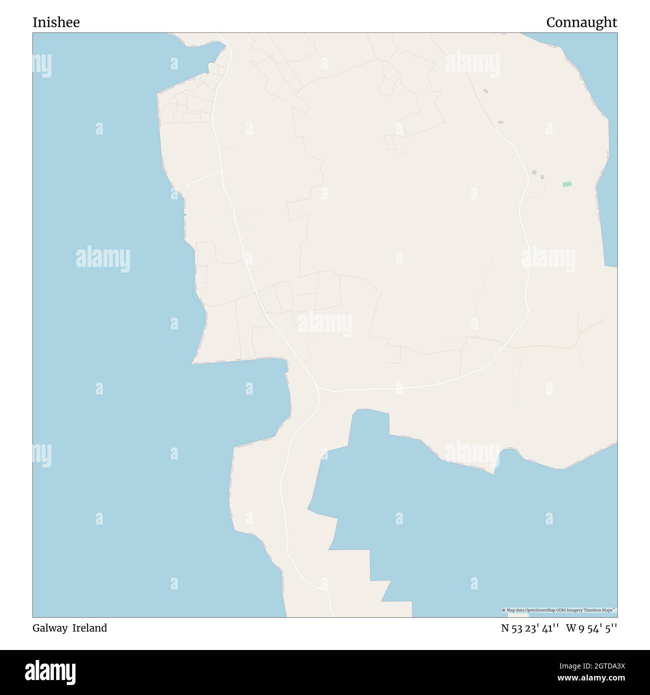 InisheeIsland · 2.5 mi
 MeelickVisitor information · 2.6 mi
 CastleCastle, unclassified · 2.7 mi