What is recorded here
Located on a gentle NW-facing slope on what was once the demesne of Bullockhouse Farm House. The cropmark of an oval area (max. dims c. 140m E-W; c. 55m N-S) defined by a single ditch is visible on Google Earth (28/06/2018; 14/07/2018). Towards its E end it is cut by a NNE-SSW field bank with another field bank extending SE from it. The latter is one side of a lane that extended to a farmhouse c. 160m distant, but only these features are represented on the 1839 and 1902 editions of the OS 6-inch map. It was first reported by Catherine McLoughlin.
See the attached view from Google Earth (28/06/2018)
Compiled by: Michael Moore
Date of upload; 8 April 2021
The monument record does not grant public access. Check the route and ask the landowner before entering private land.
- What survives
- Recorded monument
Places near here
 Fulacht fia in BallyloughanFulacht fia · 594 yd
 KilnKiln, corn-drying · 774 yd
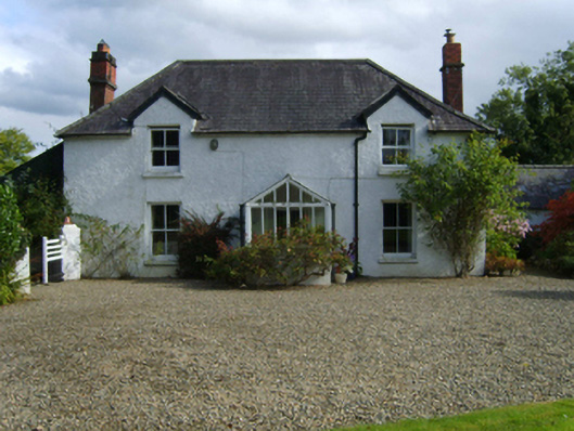 Ballytegan Housefarm house · 911 yd
 Fulacht fia in AskFulacht fia · 1155 yd
 Kia Ora Mini FarmHeritage attraction · 1.2 mi
 Market HouseHeritage attraction · 1.2 mi
 1798 MonumentMemorial · 1.6 mi
 Gorey HillMountain / peak · 2.1 mi
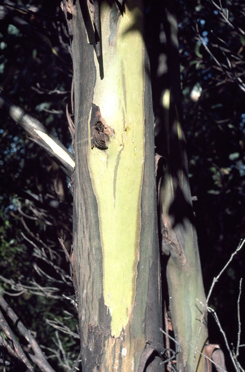 Johnston's gumJohnston's gum · 2.4 mi
 Banoge HillMountain / peak · 2.5 mi
 Ballingarry WoodForest · 2.8 mi
 CastleCastle, motte · 4.8 mi