What is recorded here
In tillage. Identified on an aerial photograph (GB91.DZ.04, 15 July 1991) as the cropmark of an incomplete oval enclosure (diam. c. 100m) defined by a fosse. The fosse is visible from SE-S-NW. There is an area of darker staining in the interior of the enclosure close to the fosse in the SW quadrant which may indicate where small scale quarrying had taken place. A field boundary runs roughly E-W through the centre of the enclosure. There is a house on a small plot immediately E of the SE sector and another house on a larger plot encroaching on the enclosure in the NE sector.
Compiled by: Jean Farrelly
Date of revised upload: 21 April 2021
The monument record does not grant public access. Check the route and ask the landowner before entering private land.
- What survives
- Recorded monument
Places near here
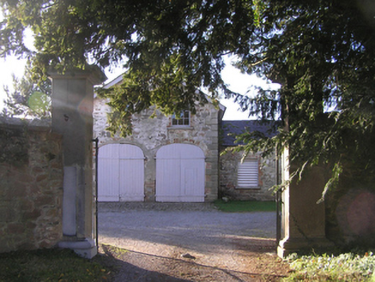 Barrowmount Housefarmyard complex · 538 yd
 Druid's AltarArchaeological place · 685 yd
 MonasteryReligious house, unclassified · 760 yd
 IndicatedEnclosure · 1201 yd
 Lord Galmoys Catle (in ruins)Castle, unclassified · 1.1 mi
 Drumroe Castle (ruins)Castle · 1.2 mi
 Tinnakeenly BogForest · 2.5 mi
 The bogForest · 2.6 mi
 The Barrow WayVisitor information · 5.3 mi
 Kilcullaun Church (in ruins), GraveyardChurch · 5.9 mi
 Tullaherin Church and Round TowerVisitor information · 6.4 mi
 St. Mogarra’s WellSpring · 7.4 mi