
What is recorded here
In pasture. Indicated as a D-shaped enclosure on the 1st (1839) ed. OS 6-inch map, with a straight W side running roughly NNW-SSE, and as a roughly oval enclosure (overall diam. c. 45m N-S; c. 40m E-W) on the 1899-1902 revision. On the 1st ed. map a field boundary is indicated running ENE-WSE eastward from the NE quadrant. On the later revision this field boundary is also shown, along with two other E-W boundaries running westward, one from the NW perimeter and one from the S. OS Orthos 2005-20212 shows the monument as a cropmark, with the NNW-SSE and northern E-W field boundary running along the N perimeter.
See attached:
KK024-082---- OS Ortho image 2005-20212
Compiled by: Jean Farrelly
Date of upload: 11 October 2021
The monument record does not grant public access. Check the route and ask the landowner before entering private land.
- What survives
- Recorded monument
Places near here
 Enclosure in Baronsland (gowran By., Woolengrange Ed)Enclosure · 558 yd
 Enclosure in Newhouse (gowran By., Woolengrange Ed)Enclosure · 1201 yd
 Kilbline GraveyardArchaeological place · 1634 yd
 ‘Kilbline Church (in ruins)’Church · 1657 yd
 Kilbline CastleCastle, tower house · 1.1 mi
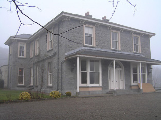 Crohana Housecountry house · 1.1 mi
 MarlowWood · 1.2 mi
 Annamult Castle (in ruins)Castle, tower house · 1.4 mi
 Black WalnutBlack Walnut · 1.7 mi
 Time CapsuleMemorial · 1.9 mi
 Tullaherin Church and Round TowerVisitor information · 1.9 mi
 Kells Augustinian PrioryHeritage attraction · 4.5 mi
Other information
Photo: Credit not shown in the picture search · Rights wording not checked; contact us if this picture should be removed