
What is recorded here
Indicated as ‘Kilbline Church (in ruins)’ on the 1st (1839) ed. OS 6-inch map as a rectangular building (overall dims. c. 14m NE-SW; c. 8m NW-SE). On the later revision of this map (1899-1902) it is depicted as, ‘Kilbline Church (Site of)’. A tower house (KK024-083003-) is located c. 250m to the E. The church is associated with the medieval settlement of Kilbline (KK024-083----). There is no visible remains of an associated graveyard (KK024-083004-).
The church is associated with St Blaan, who carried out his ministry in Scotland and became the first bishop of the See of Dumblane in the 7th century (Carrigan1905, vol. 3, 485). Carrigan (ibid.) describes the church as, ‘of small dimensions, but as the remains of its walls are now hidden beneath a heap of fallen masonry, weeds, &c., exact measurements cannot be taken. The door appears to have been in the west gable. There is no trace of graveyard or graves’.
The church is not visible on satellite imagery and the field where it stood has been reclaimed.
Compiled by: Jean Farrelly
Date of upload: 11 October 2021
This remains an important historical record, but the official description says the monument is no longer visible or has been destroyed. The monument record does not grant public access. Check the route and ask the landowner before entering private land.
- What survives
- No visible remains or recorded as destroyed
Places near here
 Kilbline GraveyardArchaeological place · 45 yd
 Kilbline CastleCastle, tower house · 272 yd
 Enclosure in Baronsland (gowran By., Woolengrange Ed)Enclosure · 1036 yd
 Enclosure in KilblineEnclosure · 1333 yd
 Tullaherin Church and Round TowerVisitor information · 1.0 mi
 Saint Kieran's Catholic Churchchurch/chapel · 1.1 mi
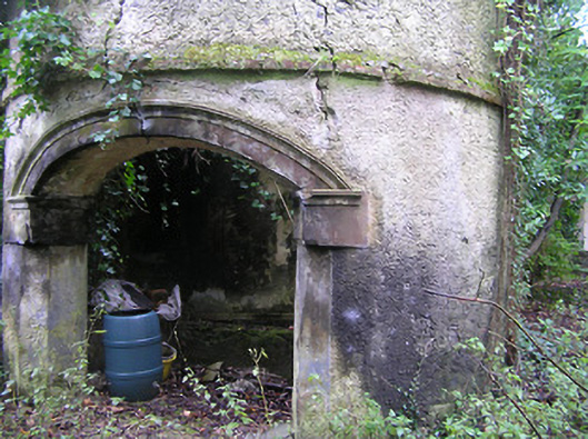 Summerhill Housedovecote/pigeon house/aviary · 1.1 mi
 Ruins of CorbettsWood · 1.3 mi
 Bawn in StroanBawn · 1.6 mi
 MarlowWood · 1.6 mi
 Stroan FountainVisitor information · 1.6 mi
 Time CapsuleMemorial · 1.7 mi
Other information
Photo: Credit not shown in the picture search · Rights wording not checked; contact us if this picture should be removed