
What is recorded here
Enclosure in Baronsland (gowran By., Woolengrange Ed) was a 72-metre oval of bank and ditch on a Kilkenny slope, mapping its outline before ploughs erased most of the shape. Local tradition claims an underground passage beneath the soil, though no entrance remains visible. The surviving earthen ridge and faint cropmark suggest the earth still remembers the boundary drawn around it.
On the brow of a N-facing slope in arable land with good views from NE-E-SE. Indicated on the 1st (1839) ed. OS 6-inch map and 1899-1902 revision as an oval enclosure (overall diam. c. 72m N-S; c. 66m E-W; int. diam. c. 50m N-S; c. 40m E-W) defined by a bank, fosse and outer bank. Though subsequently levelled, the SW-W sector of the monument is visible as a low earthen bank (max. H 0.4m; Wth 2.2m). A curving field boundary runs along the SE-SW perimeter and may incorporate the outer bank in this sector. The fosse (Wth c. 5m) is visible as a cropmark on satellite imagery (Google Earth, imagery date 13 August 2015). Local tradition associates the enclosure with a Man-made underground passage (KK024-081002-) of which there is no indication at ground level.
See attached:
KK024-081001-_01 satellite imagery (Google Earth, imagery date 13 August 2015)
Compiled by: Jean Farrelly
Date of upload: 11 October 2021
The monument record does not grant public access. Check the route and ask the landowner before entering private land.
- What survives
- Recorded monument
Places near here
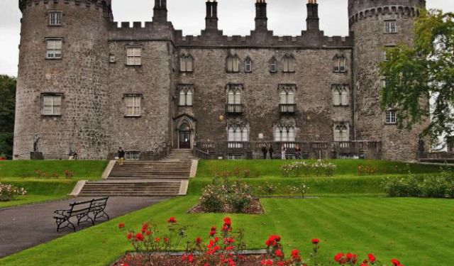 Enclosure in WoolengrangeEnclosure · 1058 yd
 Kilbline GraveyardArchaeological place · 1139 yd
 ‘Kilbline Church (in ruins)’Church · 1169 yd
 Kilbline CastleCastle, tower house · 1412 yd
 Grave YardGraveyard · 1551 yd
 MarlowWood · 1.1 mi
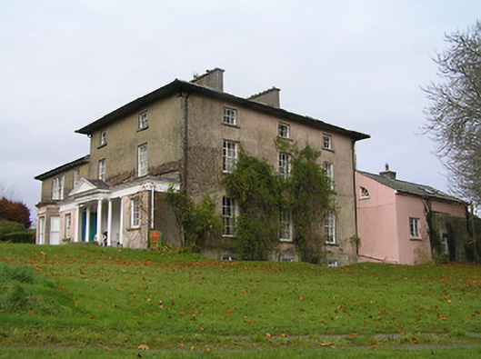 Maiden Hallcountry house · 1.2 mi
 Annamult Castle (in ruins)Castle, tower house · 1.5 mi
 Black WalnutBlack Walnut · 1.7 mi
 Time CapsuleMemorial · 1.7 mi
 Tullaherin Church and Round TowerVisitor information · 1.7 mi
 O'Gorman's Lane LoopWalking route · 1.9 mi
Other information
Photo: Credit not shown in the picture search · Rights wording not checked; contact us if this picture should be removed