What is recorded here
Located towards the NW boundary of an arable field. Site located c. 818m SE of the Delvin River, which forms the Dublin/Meath county boundary, and c. 601m SSE of a barrow in Westown (DU004-005----). Site bisected NW-SE by a later field boundary, now cleared (post c. 2012). Positive cropmarks visible on Apple Maps coverage (June 2018) indicate the a subcircular enclosure (ext. dims c. 38m N–S; c. 50m E–W) defined by a ditch (Wth c. 3m). There are no clear indications of a gap through the ditch. An arrangement of 3 smaller subrectilinear enclosures can be seen extending from the E perimeter of the primary enclosure.
Compiled by: Tom Condit
Uploaded on: 27 April
The monument record does not grant public access. Check the route and ask the landowner before entering private land.
- What survives
- Recorded monument
Places near here
 QuarryQuarry · 422 yd
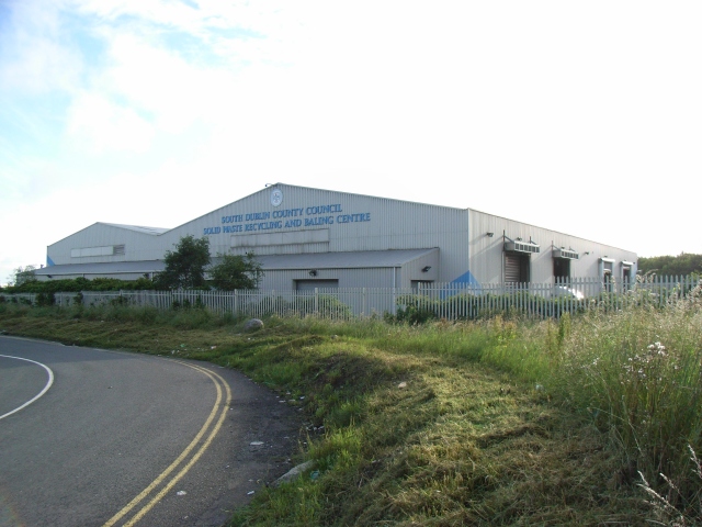 Enclosure in WestownEnclosure · 523 yd
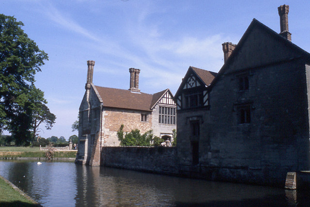 MoatBarrow, stepped barrow · 656 yd
 Westown HouseCastle, tower house · 670 yd
 Naul HillMountain / peak · 825 yd
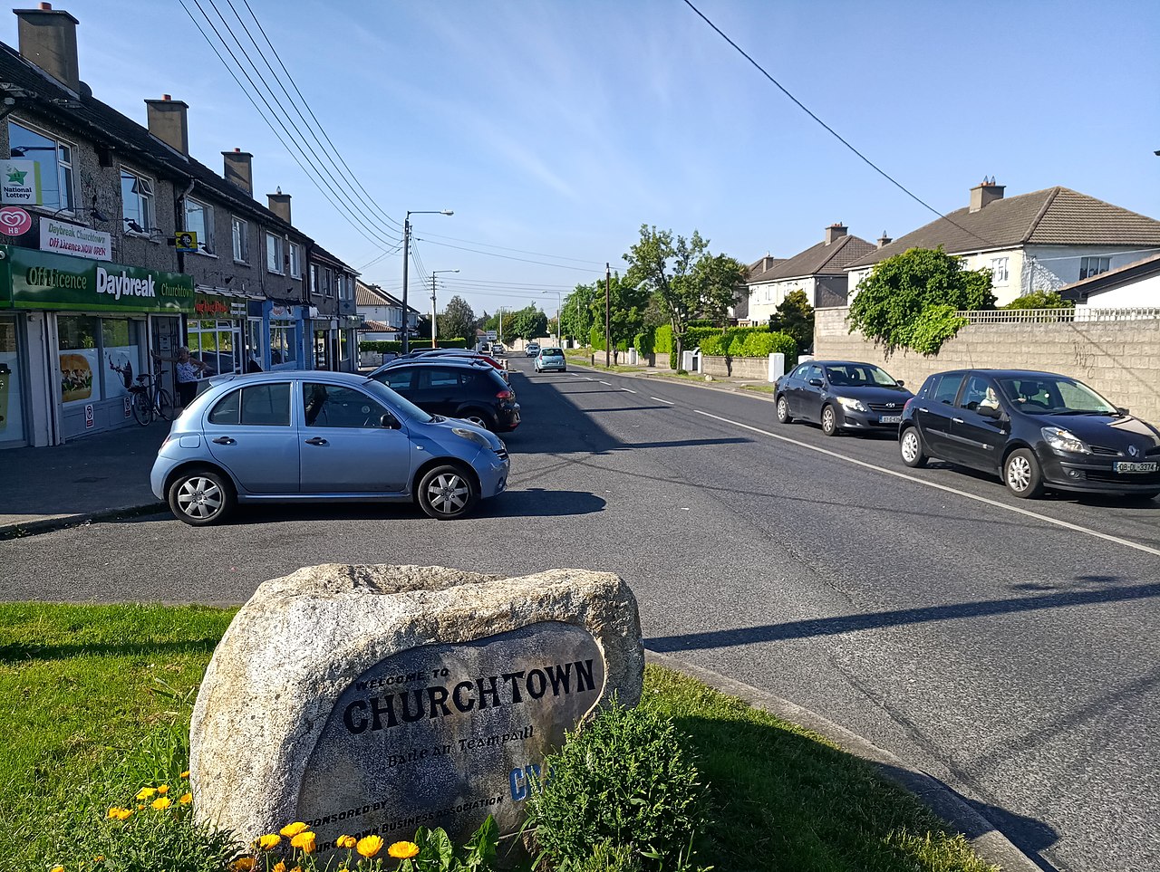 IndicatedKiln, lime · 1126 yd
 Bun-na-CnoicMemorial · 1444 yd
 Seamus Ennis Cultural CentreMemorial · 1611 yd
 Naul Park HouseCastle, unclassified · 1655 yd
 KnockbrackMountain / peak · 1.8 mi
 St Kenny's WellSpring · 1.9 mi
 FourknocksPassage tomb · 2.1 mi