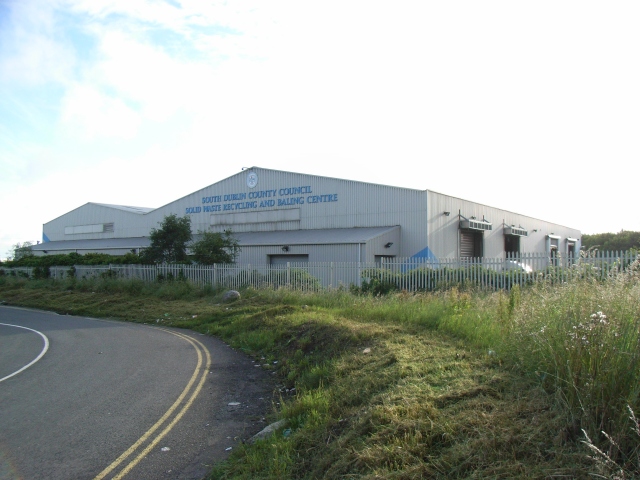
What is recorded here
Located towards the S boundary of a large arable field, c. 1.23km SSE of the Delvin River, which forms the Dublin/Meath boundary, and c. 922m SE of a barrow in Westown (DU004-005----). Positive cropmarks visible on Apple Maps coverage (June 2018) indicate the presence of a palimpsest of subsurface features, enclosures and linear cropmarks. The main enclosure is circular in plan (ext. diam. c. 37m) defined by a ditch (Wth c. 2m). There is no clear indications of a gap through the ditch. To the N and W of the enclosure are other linear and curvilear features, some of which may form smaller associated enclosures.
Compiled by: Tom Condit
Uploaded on: 27 April 2021
A local fairy fort (ringfort/rath); wider significance not recorded.
The monument record does not grant public access. Check the route and ask the landowner before entering private land.
- What survives
- Recorded monument
Places near here
 Naul HillMountain / peak · 342 yd
 QuarryQuarry · 352 yd
 Westown HouseCastle, tower house · 586 yd
 Enclosure in LoughmainEnclosure · 662 yd
 Ring-ditch in FlacketstownRing-ditch · 741 yd
 Bun-na-CnoicMemorial · 1118 yd
 Catholic Church of the Nativity of Our Ladychurch/chapel · 1281 yd
 Seamus Ennis Cultural CentreMemorial · 1435 yd
 Naul Park HouseCastle, unclassified · 1606 yd
 KnockbrackMountain / peak · 1.5 mi
 St Kenny's WellSpring · 1.6 mi
 FourknocksPassage tomb · 2.3 mi
Other information
Photo: Credit not shown in the picture search · Rights wording not checked; contact us if this picture should be removed