What is recorded here
On a SE facing slope in tillage, a square-shaped enclosure visible as a cropmark. This monument (ext. diam. 28m NE-SW; 26 NW-SE) was first identified by Anthony Murphy on Google Earth imagery taken on the 24th of June 2018. This feature lies 65m ENE of a distinctive oval cropmark enclosure.
Compiled by: Margaret Keane
Uploaded on: 10 September 2020
The monument record does not grant public access. Check the route and ask the landowner before entering private land.
- What survives
- Recorded monument
Places near here
 QuarryQuarry · 441 yd
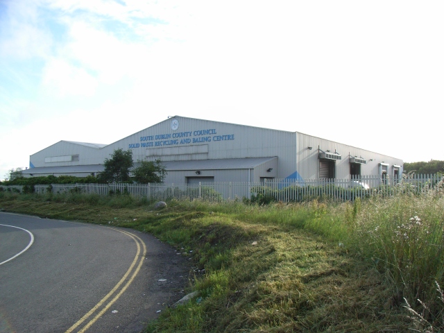 Enclosure in WestownEnclosure · 458 yd
 Westown HouseCastle, tower house · 557 yd
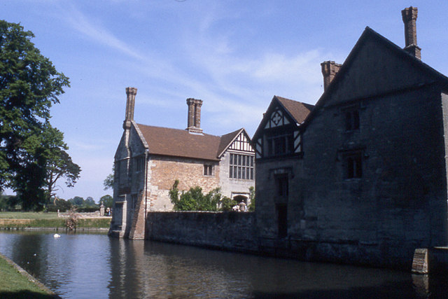 MoatBarrow, stepped barrow · 639 yd
 Naul HillMountain / peak · 735 yd
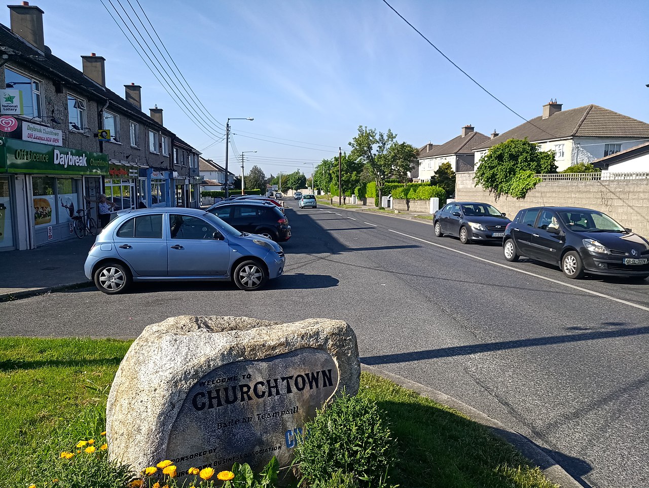 IndicatedKiln, lime · 1101 yd
 Bun-na-CnoicMemorial · 1331 yd
 Seamus Ennis Cultural CentreMemorial · 1500 yd
 Naul Park HouseCastle, unclassified · 1553 yd
 KnockbrackMountain / peak · 1.8 mi
 St Kenny's WellSpring · 1.9 mi
 FourknocksPassage tomb · 2.1 mi