What is recorded here
At the interface between the flat valley floor and the slope up to the hills to the SW, in reclaimed grassland. There are good views in all directions across the valley. Indicated as an oval enclosure defined by a wide fosse (Wth c. 5m) on the 1st (1839) ed. OS 6-inch map and 1900 revision, but subsequently levelled. Though not visible at ground level, it can be seen as a cropmark (dims. c. 40m N-S; c. 38m E-W) on Google Earth satellite imagery (imagery date 28 June 2018).
See attached Google Earth image (imagery date 28 June 2018).
Compiled by: Jean Farrelly
Date of upload: 30 March 2020
The monument record does not grant public access. Check the route and ask the landowner before entering private land.
- What survives
- Recorded monument
Places near here
 Enclosure in Gaulstown LowerEnclosure · 520 yd
 Enclosure in WallstownEnclosure · 549 yd
 Gaulstown CastleCastle, unclassified · 1314 yd
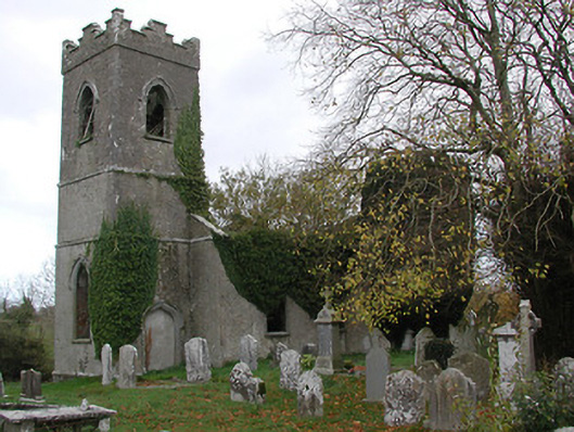 Ballinamara Churchchurch/chapel · 1722 yd
 Church in ruinsChurch · 1.1 mi
 Not indciatedCastle, unclassified · 1.1 mi
 Brown's WoodWood · 2.2 mi
 The CopseWood · 2.3 mi
 Freshford LoopWalking route · 2.7 mi
 Emma Jane Browne-ClaytonMemorial · 3.1 mi
 Ballykeeffe Mass RockNamed rock · 4.9 mi
 Clomantagh HillMountain / peak · 5.6 mi