
What is recorded here
An aerial photograph taken by in 1971 (FSI 587/588) shows part of a possible enclosure visible as a curving cropmark (diam. c. 100m). There is a corresponding curve in the nearby field boundary. The site is located in low-lying pasture close to Rogerstown estuary. Not visible at ground level. Now incorporated into Turvey Nature Reserve. Geophysical survey (Licence no. 06R0154) was undertaken to identify the extent and location of the enclosure site. However no clear responses suggestive of an enclosure were identified. Isolated responses were recorded probably the result of natural variations in the sub-soil (Leigh 2006, 2).
Compiled by: Geraldine Stout
Updated by: Christine Baker
Date of upload: 19 December 2014
The monument record does not grant public access. Check the route and ask the landowner before entering private land.
- What survives
- Recorded monument
Places near here
 Turvey Allotments and Nature ReserveNature reserve · 402 yd
 Turvey HouseCastle, tower house · 436 yd
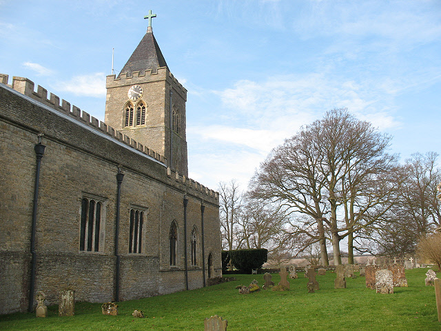 Burial in Turvey (nethercross By.)Burial · 508 yd
 The Birds of Rogerstown EstuaryVisitor information · 540 yd
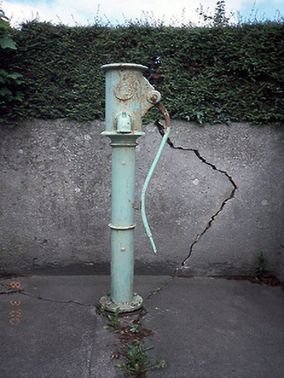 water pumpwater pump · 1108 yd
 Newbridge Housecountry house · 1331 yd
 Tourist InformationVisitor information · 1332 yd
 Newbridge House and DemesneHeritage attraction · 1427 yd
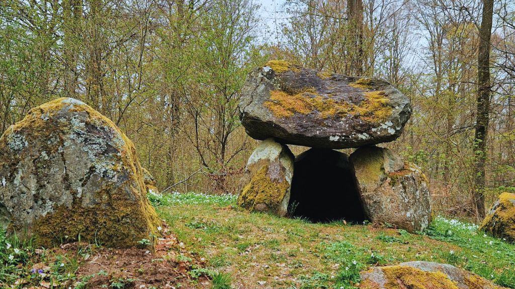 Enclosure in Newhaggard (balrothery East By.)Enclosure · 1601 yd
 Lanestown Castle in ruinsCastle, tower house · 1.0 mi
 Old Post OfficeMemorial · 1.1 mi
 The Red HouseMemorial · 1.1 mi
Other information
Photo: Credit not shown in the picture search · Rights wording not checked; contact us if this picture should be removed