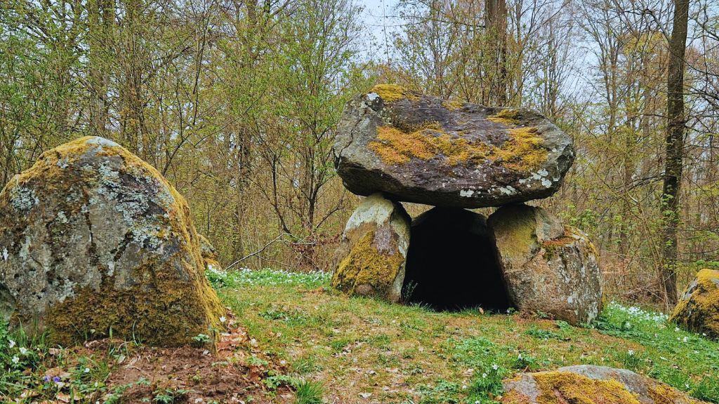
What is recorded here
A circular enclosure visible as a crop mark on an aerial photograph (SMR file; pers. comm. T. Condit). Located on east facing slightly sloping ground. No visible trace at ground level.
Compiled by: David O’Connor
Updated by: Christine Baker
Date of upload: 19 December 2014
This remains an important historical record, but the official description says the monument is no longer visible or has been destroyed. The monument record does not grant public access. Check the route and ask the landowner before entering private land.
- What survives
- No visible remains or recorded as destroyed
Places near here
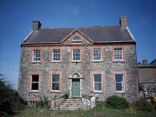 Corduff Housefarm house · 642 yd
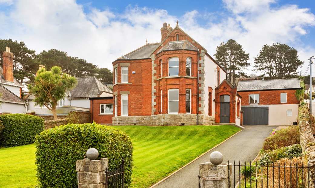 Bridetree WellHoly well · 726 yd
 St. Catherines WellHoly well · 747 yd
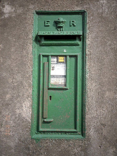 post boxpost box · 933 yd
 The Birds of Rogerstown EstuaryVisitor information · 1659 yd
 Chapel FarmMemorial · 1705 yd
 Orlynn ParkMemorial · 1725 yd
 Turvey Allotments and Nature ReserveNature reserve · 1750 yd
 Turvey HouseCastle, tower house · 1.1 mi
 Roseville Business ParkVisitor information · 1.3 mi
 Newbridge House and DemesneHeritage attraction · 1.7 mi
 Lanestown Castle in ruinsCastle, tower house · 1.8 mi
Other information
Photo: Credit not shown in the picture search · Rights wording not checked; contact us if this picture should be removed