
What is recorded here
On a SE-facing slope of Gortmore Hill overlooking Turaheen river valley in an upland region. Enclosure was inaccessible due to its location in a Coillte conifer plantation. The monument is visible as an enclosure on aerial photographs (GSI R 359/8, 16/04/74). An inspection in 1994 described this monument as an enclosure (diam. C.50m) defined by a low bank (Wth c. 3-4m; H 0.5m) and shallow external fosse (Wth 3-4m) which is tangential with roadside level along the S quadrant and remains of the external bank are visible along the SE sector. The enclosure had been recently shallow ploughed and planted with conifers and a new forest access road constructed to the SE of monument.
Compiled by: Jean Farrelly
Date of upload: 26 August 2011
A local fairy fort (ringfort/rath); wider significance not recorded.
The monument record does not grant public access. Check the route and ask the landowner before entering private land.
- What survives
- Recorded monument
Places near here
 Megalithic structure in Glenough UpperMegalithic structure · 1.2 mi
 GlenaneaghMountain / peak · 1.3 mi
 Site of Church, Childrens Burial GroundChurch · 1.3 mi
 Ring HillMountain / peak · 1.3 mi
 Site of Cashlauncreen CastleCastle, tower house · 2.0 mi
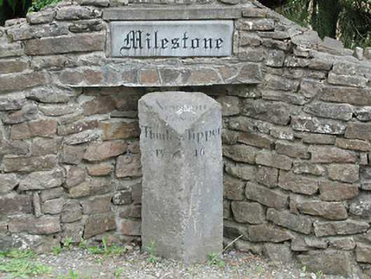 milestone/milepostmilestone/milepost · 2.1 mi
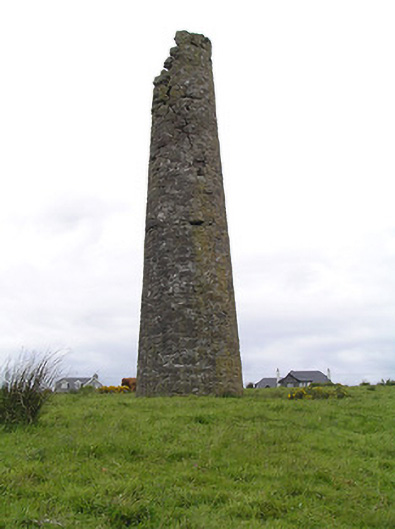 Hollyford Copper Mineschimney · 2.7 mi
 Drum WoodWood · 3.1 mi
 Drumbane CastleCastle · 3.1 mi
 Gortard WoodForest · 5.6 mi
 Soloheadbeg Ambushambush · 11 mi
 Silvermines ViewpointViewpoint · 12 mi
Other information
Photo: Credit not shown in the picture search · Rights wording not checked; contact us if this picture should be removed