What is recorded here
Situated in pasture, immediately S of a field boundary on a gentle W-facing slope. Indicated on the 1927 OS 6-inch map as a sub-oval embanked enclosure (c. 40m NW-SE; 20m E-W) was not evident when the site was inspected.
Compiled by: Denis Power
Date of upload: 4 July 2013
The monument record does not grant public access. Check the route and ask the landowner before entering private land.
- What survives
- Recorded monument
Places near here
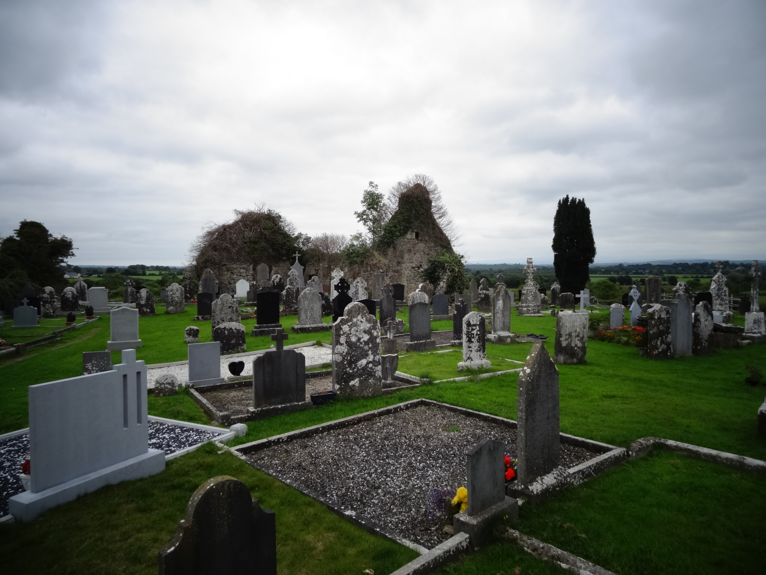 Grave YardGraveyard · 376 yd
 Tower HillCastle, unclassified · 681 yd
 Field system in Cunnagavale,dromalta,killuraghField system · 993 yd
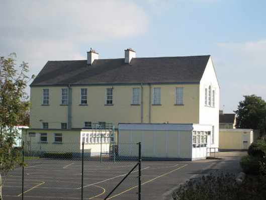 Convent of Mercyschool · 1.0 mi
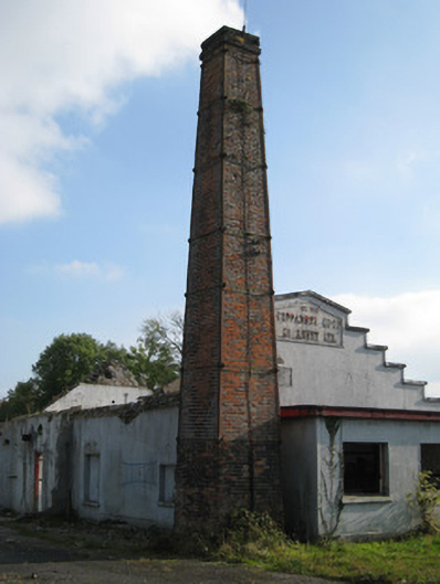 Cappamore Co-Operative Creamerycreamery, chimney · 1.0 mi
 CastleCastle, unclassified · 1.2 mi
 ToberagaddySpring · 2.5 mi
 KnockseefinMountain / peak · 2.8 mi
 Graveyard in AbingtonGraveyard · 4.2 mi
 Sliev Felim WayVisitor information · 4.3 mi
 St. Patrick's WellSpring · 5.6 mi
 Oola HillMountain / peak · 6.1 mi