
What is recorded here
Situated on a NW-facing slope. This is a large D-shaped enclosure (dims c. 65m NE-SW; c. 50m NW-SE) defined by derelict drystone walls at NW, SE and SW, but the curved wall NW-N-NNE is maintained as a field boundary. There is no evidence that the walls are built on older walls or that the enclosure is an antiquity.
Compiled by: Michael Moore
Date of upload:13 January, 2014
A local fairy fort (ringfort/rath); wider significance not recorded.
The monument record does not grant public access. Check the route and ask the landowner before entering private land.
- What survives
- Recorded monument
Places near here
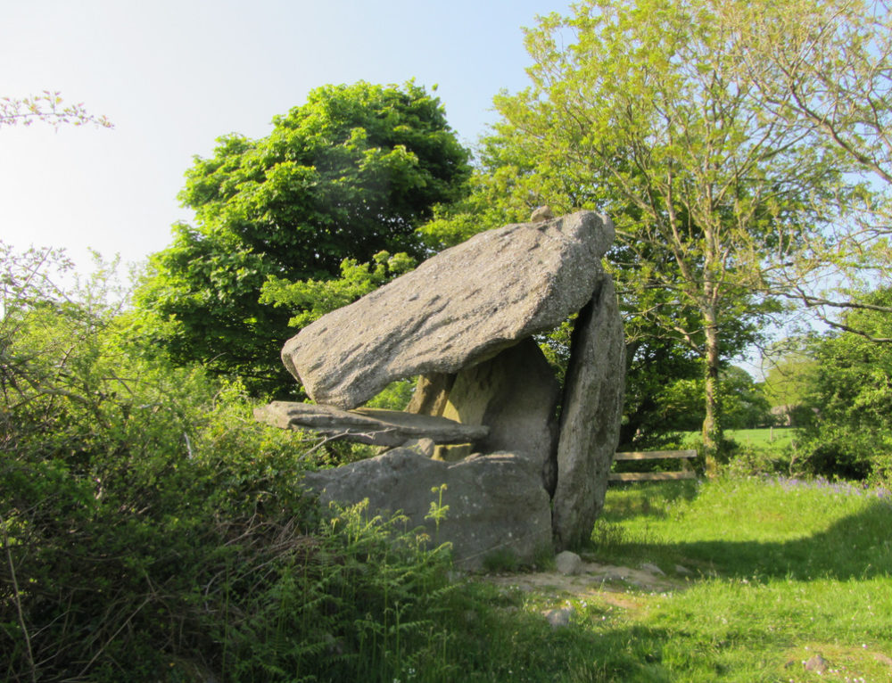 Enclosure in TullycommonEnclosure · 443 yd
 MohernaglasEnclosure · 620 yd
 Castle in ruinsCastle, tower house · 1246 yd
 Father Ted's HouseHeritage attraction · 1.4 mi
 Glenquin Housefarm house · 1.4 mi
 Correen R.C. Chapel (in ruins)Church · 1.4 mi
 Castle (in ruins)Castle, unclassified · 1.6 mi
 Burren National ParkVisitor information · 1.8 mi
 Farbrega RockNamed rock · 2.1 mi
 PoulnabroneMemorial · 3.4 mi
 Fergus River CaveCave · 3.7 mi
 Poulnabrone - Burren GeositeVisitor information · 3.9 mi
Other information
Photo: Credit not shown in the picture search · Rights wording not checked; contact us if this picture should be removed