What is recorded here
Situated on a low E-W ridge. Aerial photograph (GB89.J.35) shows the cropmark of a curvilinear enclosure (diam. c. 50-55m) defined by a slight fosse, with a contiguous lunate annexe (dims c. 60m E-W; c. 20m N-S) defined by a single fosse attached on the N side. The annex is partly overlain by the cropmark of a plough-levelled ornamental diamond-shaped feature that is marked on the 1836 edition of the OS 6-inch map as part of the formerly more extensive ornamental grounds surrounding Tullyard House.
Compiled by: Dr Gillian Barrett for the Archaeological Survey of Ireland.
Date of upload: revised 17 April 2019
The monument record does not grant public access. Check the route and ask the landowner before entering private land.
- What survives
- Recorded monument
Places near here
 Enclosure in ArdgreaghEnclosure · 460 yd
 EnclosureEnclosure, large enclosure · 1112 yd
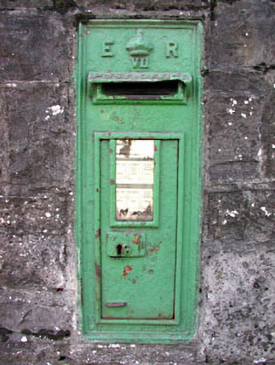 post boxpost box · 1.6 mi
 Moymet CastleCastle, tower house · 1.6 mi
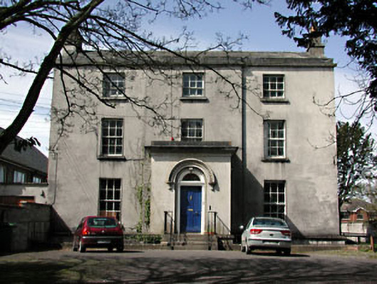 The Old Rectoryrectory/glebe/vicarage/curate's house · 1.6 mi
 CastleCastle, hall-house · 1.9 mi
 Wych ElmWych Elm · 2.8 mi
 Small-leaved ElmSmall-leaved Elm · 3.0 mi
 BohermeenMountain / peak · 4.6 mi
 The New Line RoadMemorial · 4.7 mi
 JamestownMountain / peak · 4.9 mi
 Tara Open StudioGallery · 7.3 mi