What is recorded here
In level pasture bordering the Curragh immediately to the E. Shown on the 1st ed. (1838) of the OS 6-inch map as a D-shaped enclosure (est. diam. c. 32m N-S) with a straight S side (est. L c. 47m). [Three small roofed buildings are also shown immediately to the S, so the monument may have been truncated and originally have been more circular in plan.] The mapping also indicates that the enclosing element in the E quadrant acted as part of the townland and parish boundary between Tully East, parish of Tully, and Curragh, parish of Kildare. No visible surface traces.
Compiled by: Gearóid Conroy
The monument record does not grant public access. Check the route and ask the landowner before entering private land.
- What survives
- Recorded monument
Places near here
 Enclosure in Curragh (kildare Ed)Enclosure · 875 yd
 Gibbet RathFairy fort / earthen ringfort · 1037 yd
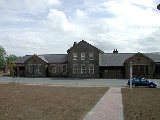 library/archivelibrary/archive · 1.2 mi
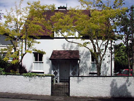 Monsofficer's house · 1.4 mi
 Saint Fiachra's GardenHeritage attraction · 1.5 mi
 Tully Ho.Castle, unclassified · 1.5 mi
 Bee-bee treeBee-bee tree · 1.5 mi
 Dawn RedwoodDawn Redwood · 1.5 mi
 Irish National Stud and Japanese GardensHeritage attraction · 1.5 mi
 CastleCastle, motte · 2.0 mi
 Bithia Mary CrokerMemorial · 7.6 mi
 Grand Canal WayVisitor information · 8.9 mi