What is recorded here
Depicted on the 1939 'OS 6-inch' map as a sub-rectangular annexe (est. dims. 40m x 30m) attached to S of enclosure (CW008-035001-). No visible traces.
Compiled by: Claire Breen
Date of upload: 19 August 2011
This remains an important historical record, but the official description says the monument is no longer visible or has been destroyed. The monument record does not grant public access. Check the route and ask the landowner before entering private land.
- What survives
- No visible remains or recorded as destroyed
Places near here
 Enclosure in TullowphelimEnclosure · 43 yd
 European ashEuropean ash · 453 yd
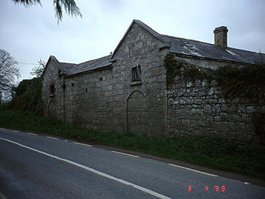 The Cottageoutbuilding · 1453 yd
 Coppenagh CastleCastle, tower house · 1638 yd
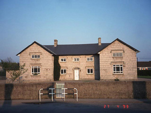 Saint Columba's National Schoolschool · 1.2 mi
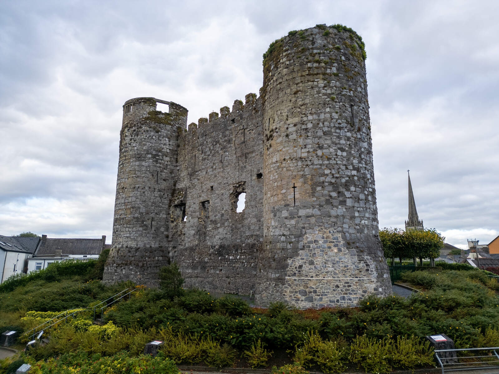 CastleCastle, motte · 1.2 mi
 Enclosure in Ballymurphy (rathvilly By.)Enclosure · 1.2 mi
 Rath WoodForest · 2.8 mi
 Acaun Church (in ruins), GraveyardChurch · 3.2 mi
 Church (in Ruins), GraveyardChurch · 3.3 mi
 Duckett's GroveHeritage attraction · 4.5 mi
 Franciscan FriaryHeritage attraction · 7.7 mi