What is recorded here
On slight break of fairly steep NW-facing slope, in undulating terrain, under pasture. Field immediately E is under tillage. Monument depicted on 1st (1840) and 2nd (1901-05) ed. OS 6-inch map as a circular enclosure. Enclosure has been levelled with no visible trace at ground level. Field boundary to N has also been removed. Field bank to E remains, with kink which respected the monument.
Compiled by: Jean Farrelly
Date of upload: 26 August 2011
This remains an important historical record, but the official description says the monument is no longer visible or has been destroyed. The monument record does not grant public access. Check the route and ask the landowner before entering private land.
- What survives
- No visible remains or recorded as destroyed
Places near here
 Enclosure in KnockrathkellyEnclosure · 842 yd
 Enclosure in MayladstownEnclosure · 1286 yd
 Carrigaloe RockNamed rock · 1.2 mi
 Church in GarrangibbonChurch · 1.4 mi
 CastleCastle, ringwork · 1.5 mi
 Kilcash WoodForest · 1.6 mi
 Whitehall Bridgebridge · 1.7 mi
 SheegounaMountain / peak · 1.8 mi
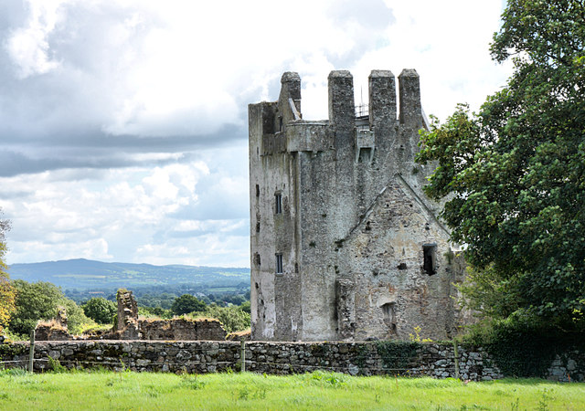 Bawn in KilcashBawn · 2.0 mi
 SlievenamonMountain / peak · 2.1 mi
 Wild CherryWild Cherry · 2.1 mi
 The SpoutMemorial · 3.2 mi