
What is recorded here
On a S-facing slope in undulating terrain. Field under grass for 3 years but previously was under tillage for c. 30 years. Enclosure visited by Cahill in 1975 when it was described as being a 'small sub-rectangular banked enclosure'. Monument has been ploughed-out, however, the W half is still barely visible as raised semi-circular area (diam. c. 30m).
Compiled by: Jean Farrelly
Date of upload: 26 August 2011
The monument record does not grant public access. Check the route and ask the landowner before entering private land.
- What survives
- Recorded monument
Places near here
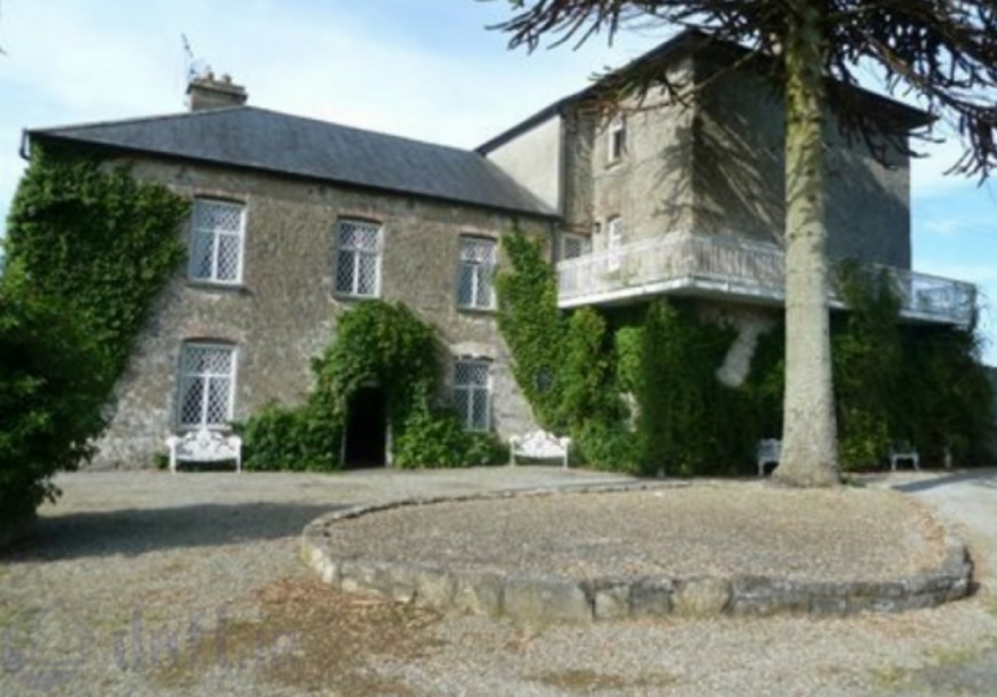 Enclosure in KnockrathkellyEnclosure · 373 yd
 Enclosure in MayladstownEnclosure · 741 yd
 Carrigaloe RockNamed rock · 1367 yd
 Kilcash WoodForest · 1.2 mi
 Saint John's Catholic Churchchurch/chapel · 1.4 mi
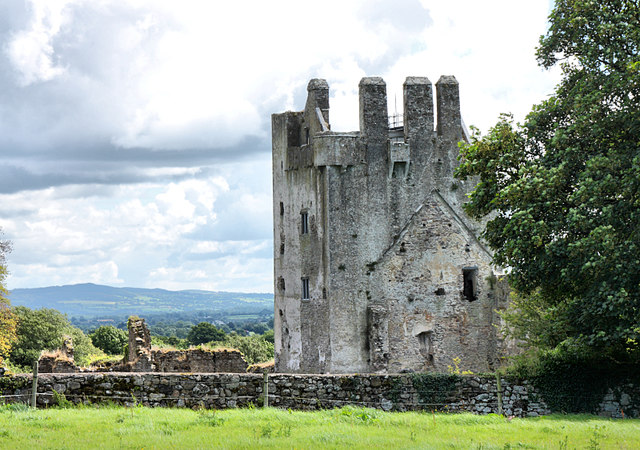 Bawn in KilcashBawn · 1.5 mi
 Kilcash Castle (in ruins)Castle, tower house · 1.5 mi
 Kilcash Church (in ruins)Church · 1.6 mi
 SheegounaMountain / peak · 1.8 mi
 SlievenamonMountain / peak · 1.9 mi
 Wild CherryWild Cherry · 2.0 mi
 Thomas KielyMemorial · 3.7 mi
Other information
Photo: Credit not shown in the picture search · Rights wording not checked; contact us if this picture should be removed