What is recorded here
Indicated on the 1st (1839) ed. OS 6-inch map as a sub-rectangular enclosure (dims. c. 53m NE-SW; c. 40m NW-SE) and on the revision as roughly the same shape with rounded angles. The enclosure has been levelled as is evident on satellite imagery (Google Earth, imagery date 14 July 2018).
See attached:
KK024-065----_01 satellite imagery (Google Earth, imagery date 14 July 2018)
Compiled by: Jean Farrelly
Date of upload: 6 October 2021
The monument record does not grant public access. Check the route and ask the landowner before entering private land.
- What survives
- Recorded monument
Places near here
 Enclosure in TullaherinEnclosure · 349 yd
 Enclosure in Crowbally (gowran By.)Enclosure · 731 yd
 Ruins of CorbettsWood · 736 yd
 Castlefield Housegates/railings/walls · 737 yd
 barnbarn · 813 yd
 Tullaherin Church and Round TowerVisitor information · 1040 yd
 BogForest · 1484 yd
 CastleCastle, motte · 1606 yd
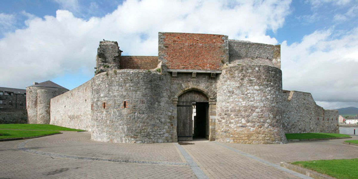 Site of Dungarvan CastleCastle, tower house · 1.0 mi
 Stroan FountainVisitor information · 1.4 mi
 Kilbline GraveyardArchaeological place · 1.7 mi
 Time CapsuleMemorial · 2.9 mi