
What is recorded here
Indicated on the 1st (1839) ed. OS 6-inch map and on the 1899-1902 revision as a circular enclosure (overall diam. c. 48m). On the 1st ed. map a roughly rectangular quarry (dims. c. 48m NE-SW; c. 23m NW-SE) is depicted extending NE from the NE quadrant. The quarry is not depicted on the later revision but the hollow of the quarry is visible on satellite imagery (Digitalglobe, viewed 6 October 2021). A road runs roughly NE-SW c. 10m S of the enclosure.
Compiled by: Jean Farrelly
Date of upload: 6 October 2021
The monument record does not grant public access. Check the route and ask the landowner before entering private land.
- What survives
- Recorded monument
Places near here
 Saint Kieran's Catholic Churchchurch/chapel · 608 yd
 Ruins of CorbettsWood · 642 yd
 Tullaherin Church and Round TowerVisitor information · 721 yd
 Cross in TullaherinCross · 723 yd
 Lost Village of TullaherinArchaeological place · 740 yd
 Castlefield Housecountry house · 851 yd
 BogForest · 1449 yd
 CastleCastle, motte · 1.1 mi
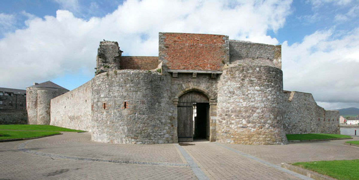 Site of Dungarvan CastleCastle, tower house · 1.2 mi
 Stroan FountainVisitor information · 1.4 mi
 Kilbline GraveyardArchaeological place · 1.5 mi
 Time CapsuleMemorial · 2.7 mi
Other information
Photo: Credit not shown in the picture search · Rights wording not checked; contact us if this picture should be removed