
What is recorded here
Situated on the lower N slopes of Trooperstown Hill. Shown on the 1838 OS 6-inch map as a small circular-shaped enclosure (max. diam. 30m). Monument is clearly visible on the edge of forestry on DigitalGlobe aerial photographs. Recent inspection carried out by Coillte Environmental Officer identified the location of the monument which was recorded as consisting of a low stone cairn (dims. 9.5m E-W x 9m N-s x H 0.75m) standing in centre of a large enclosure defined by a series of small low stones visible on aerial photographs.
The above description is derived from the published 'Archaeological Inventory of County Wicklow' (Dublin: Stationery Office, 1997). In certain instances the entries have been revised and updated in the light of recent research.
Compiled by: Caimin O'Brien
Date of upload/revision: 15 November 2018
A local fairy fort (ringfort/rath); wider significance not recorded.
The monument record does not grant public access. Check the route and ask the landowner before entering private land.
- What survives
- Recorded monument
Places near here
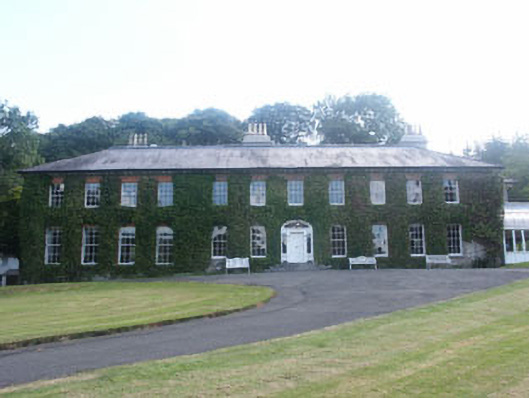 Avonmore Housecountry house · 1029 yd
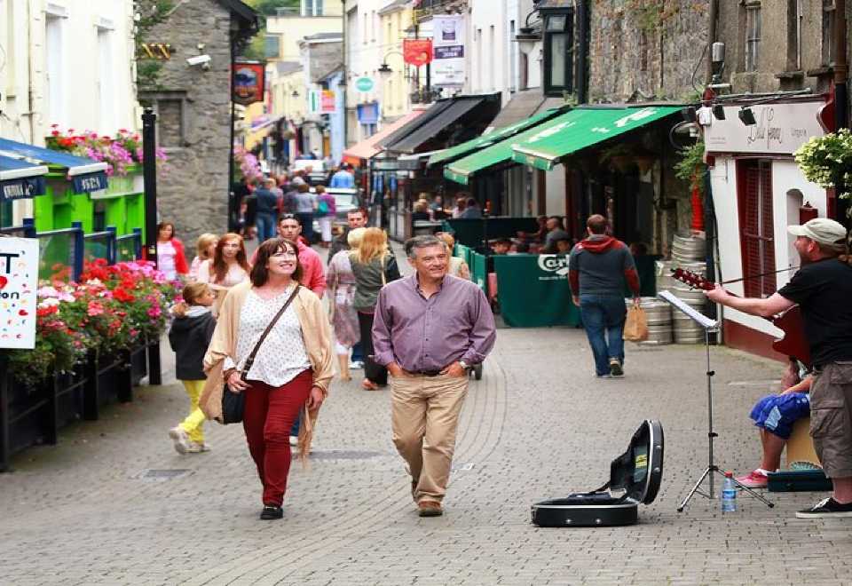 OutlinedHoly well · 1.0 mi
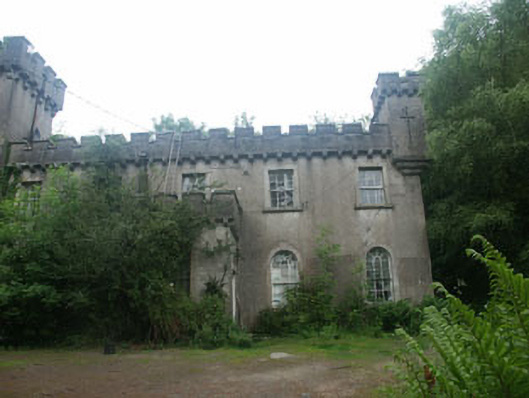 Laragh Castlebarracks · 1.1 mi
 IndicatedEnclosure · 1.3 mi
 Native Woodland Trust: Paddock Hill ReserveWood · 1.6 mi
 Castle Kevin (in Ruins)Castle, motte and bailey · 1.6 mi
 Glendalough Visitor CentreMuseum · 2.4 mi
 BallinacorbegMountain / peak · 2.5 mi
 Glendalough Round TowerHeritage attraction · 2.5 mi
 Knockrath Castle (in ruins)Castle, tower house · 2.7 mi
 Workers GreenMemorial · 3.1 mi
 Poulanass WaterfallWaterfall · 3.3 mi
Other information
Photo: Credit not shown in the picture search · Rights wording not checked; contact us if this picture should be removed