What is recorded here
Depicted as a circular feature (diam. c. 19m) on the first edition OS six-inch map (1841). It is not depicted on later OS map editions. In pasture, on a NNE-facing slope. No visible surface trace.
Compiled by: Matt Kelleher
Date of upload: 25 January 2013
The monument record does not grant public access. Check the route and ask the landowner before entering private land.
- What survives
- Recorded monument
Places near here
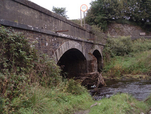 Kingwilliamstown Bridgebridge · 2.1 mi
 Doctor's HillMountain / peak · 2.2 mi
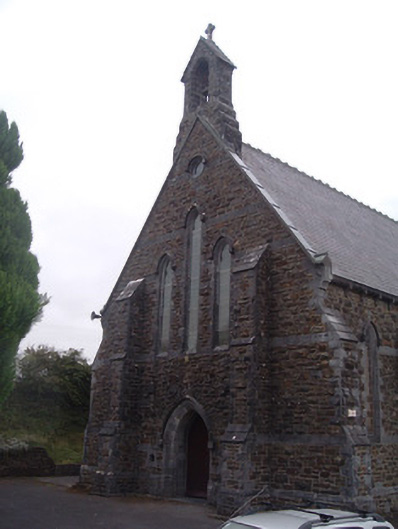 Saint Patrick's Catholic Churchchurch/chapel · 2.3 mi
 Barna BogForest · 2.4 mi
 Enclosure in KnockeennahoneEnclosure · 2.5 mi
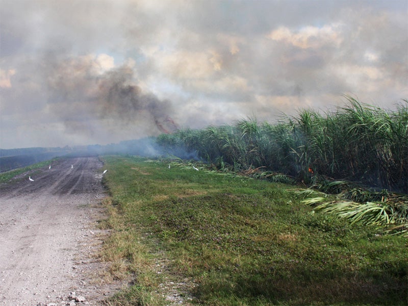 Burnt spread in CarhoonoeBurnt spread · 2.6 mi
 Site of Ardnagragh CastleCastle, unclassified · 4.2 mi
 Mount EagleMountain / peak · 4.3 mi
 Ardnacreach CastleCastle · 4.3 mi
 Nohaval WoodWood · 6.7 mi
 Famine MemorialMemorial · 12 mi
 Kerry 2nd Brigade of the Irish Republican ArmyMemorial · 12 mi