What is recorded here
On a very steep W-facing slope a little below the crest of the hills on the W side of the Gloshia river valley. There are good views to N-S-E along and across the valley. Depicted on the 1st (1839) ed. OS 6-inch map as a large somewhat D-shaped enclosure (dims. c. 69m N-S; c. 63m E-W). The enclosure is not depicted on the subsequent 1947 6-inch revision, however, the bank in the SW sector appears to have survived having been incorporated into the field boundary. The bank in the W also appears to have been incorporated in the field boundary, as indicated on the 25-inch OS map, but this portion appears to have been subsequently truncated or removed by a farm roadway.
Compiled by: Jean Farrelly
Date of upload: 7 November 2018
The monument record does not grant public access. Check the route and ask the landowner before entering private land.
- What survives
- Recorded monument
Places near here
 Kilmacar Ringfort (rath)Archaeological place · 728 yd
 Site of CastleCastle, unclassified · 1181 yd
 Enclosure in Toor MoreEnclosure · 1190 yd
 Kilmacar Church (in ruins)Church · 1195 yd
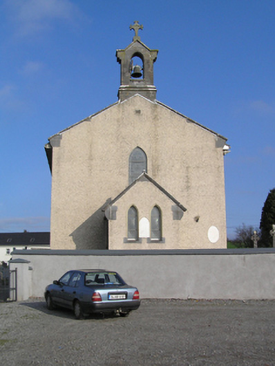 Saint Colman's Catholic Churchchurch/chapel · 1.2 mi
 CastleCastle, unclassified · 1.3 mi
 Donaghmore WellSpring · 1.5 mi
 Graveyard in SraleaghGraveyard · 2.4 mi
 Jenkinstown ParkForest · 3.6 mi
 Anker's IslandIsland · 4.0 mi
 Graveyard in ThreecastlesGraveyard · 4.8 mi
 Turkey OakTurkey Oak · 5.0 mi